Channel & Berth Profile
Pilotage, Tugs & Services
Pilotage compulsoryYES
Pilotage availableYES
Pilotage advisableYES
Local assistanceYES
Tug assistanceYES
Shore powerNO
Potable waterYES
Diesel bunkersYES
MedicalYES
Garbage disposalNO
Facilities & Capabilities
Container—
Ro-Ro—
Liquid bulkYES
Dry bulk—
Oil terminalYES
Break bulk—
Dry dock—
RepairsNO
BunkeringYES
Rail link—
Dangerous cargo—
ISPS securityYES
Harbour Specifications
Harbour size
Large
Harbour type
Coastal (Breakwater)
Shelter
Fair
Water body
Mediterranean Sea; North Atlantic Ocean
Pilotage
Yes
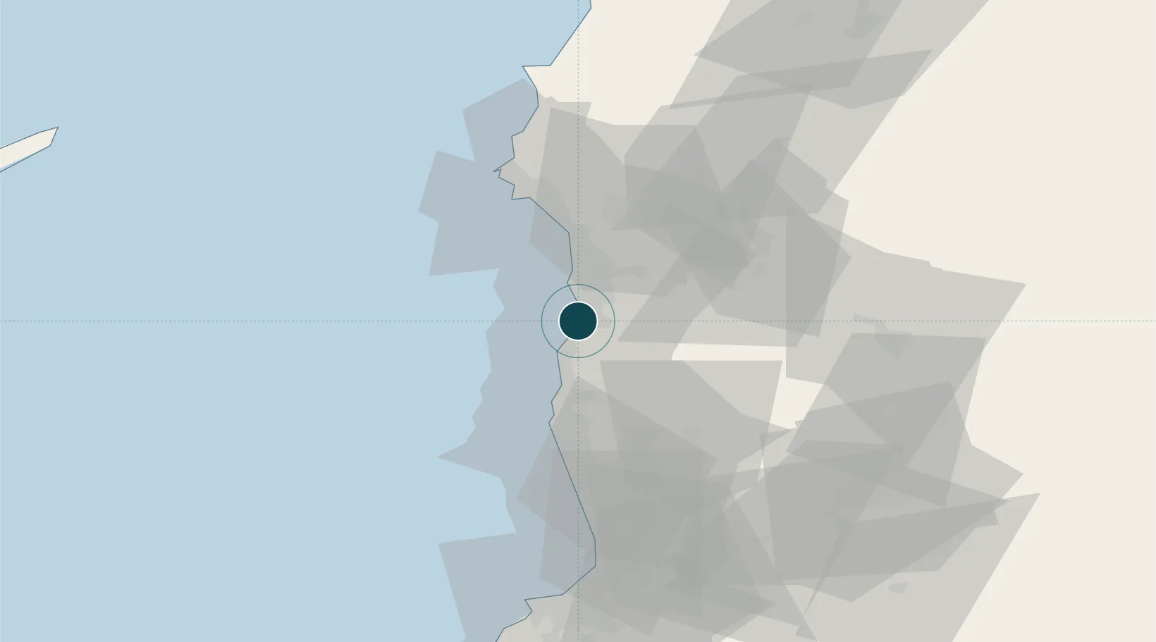
Location
Nearby Logistics Neighbours
Ports
- 1Tartus33 km
- 2Al Ladhiqiyah42 km
- 3Tarabulus83 km
- 4Selaata104 km
- 5Bayrut149 km
Cities
- 1Tartus Oil Terminal25 km
- 2Tartus32 km
- 3Arwad39 km
- 4Al Ladhiqiyah39 km
- 5Latakia41 km
Airports
- 1Latakia International Airport24 km
- 2Rene Mouawad Air Base67 km
- 3Al Qusayr Air Base90 km
- 4Wujah Al Hajar Air Base104 km
- 5Abu ad Duhur Air Base121 km
Trade Zones
DatabookThe Record of Consolidated Knowledge
Syria beyond logistics?