Export Processing Zone · Philippines

Agrotex Gensan Economic Zone Active
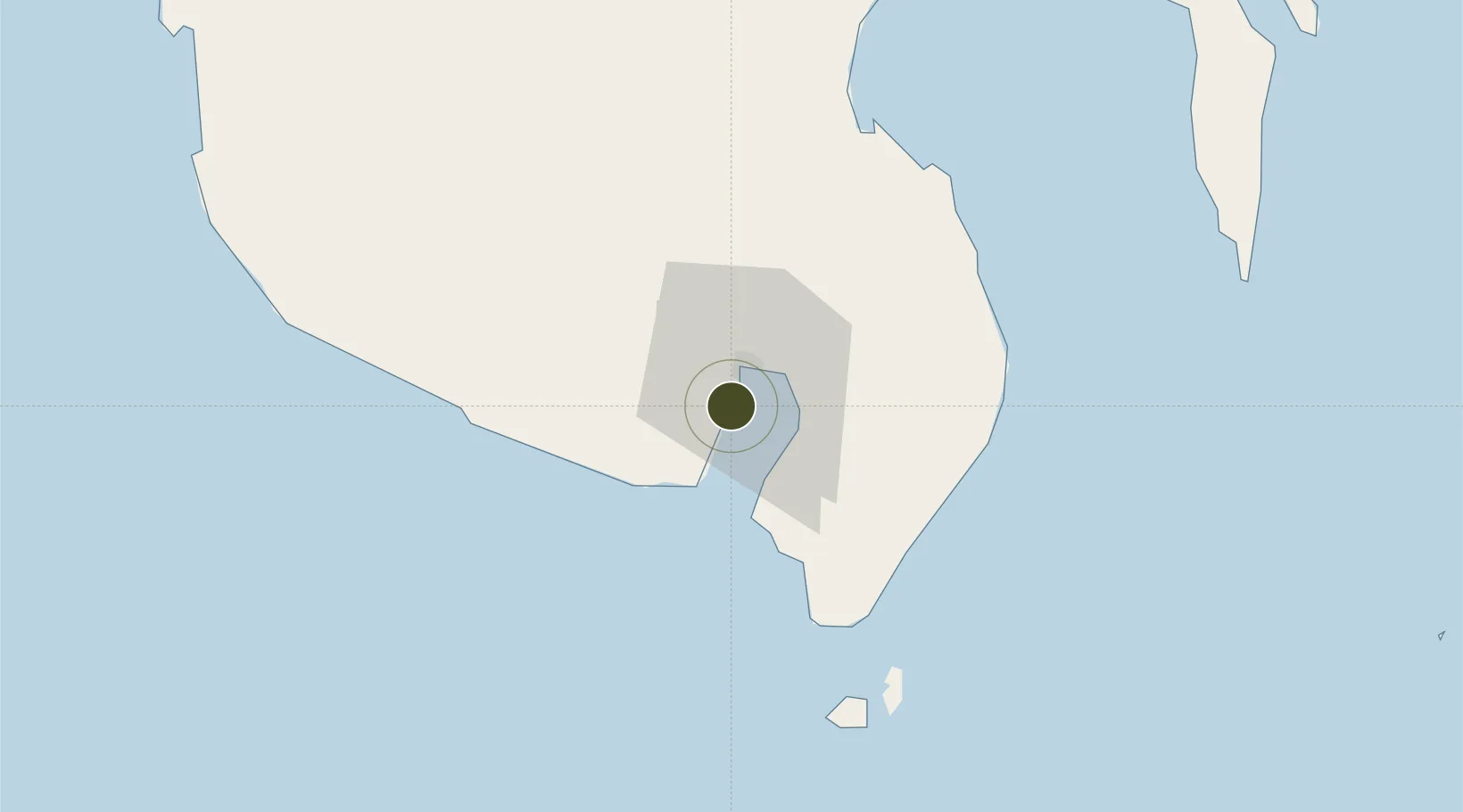
6.0272°, 125.1406°
11 ha
Zone area
11.0 km
Nearest port
5.9 km
Nearest airport

Gateway access

Nearest neighbours — logibook spatial index (haversine) over the source coordinates

Zone profile

Zone type
Export Processing Zone
Open Zone Map
Region
General Santos
Open Zone Map
Status
Active
Open Zone Map
Management
Private
Open Zone Map
Operator
Agrotex Commodities, Inc.
Open Zone Map
Legal framework
Special Economic Zone Act (Republic Act No. 7916) (as amended by Republic Act No. 8748)
Open Zone Map

Location

Location of ozm-3238
Natural Earth 10m (public domain) · General Santos · ozm-3238 · 6.03, 125.14GoogleOSMYandex

Nearby Logistics Neighbours

Ports
  1. 1General Santos11 km
  2. 2Davao127 km
  3. 3Mati157 km
  4. 4Polloc (Cotabato)179 km
  5. 5Iligan265 km
Nearest neighbours — logibook spatial index (haversine) over the source coordinates
Airports
  1. 1General Santos International Airport6 km
  2. 2Rajah Buayan Air Base14 km
  3. 3Allah Valley Airport57 km
  4. 4Central Mindanao Airport101 km
  5. 5Francisco Bangoy International Airport134 km
Nearest neighbours — logibook spatial index (haversine) over the source coordinates
Cities
  1. 1General Santos7 km
  2. 2Astorga101 km
  3. 3Kalamansig134 km
  4. 4Davao, Mindanao138 km
  5. 5DICT / SVT153 km
Nearest neighbours — logibook spatial index (haversine) over the source coordinates
Trade Zones
  1. 1Gensan Economic Zone4 km
  2. 2Gensan Economic Zone4 km
  3. 3Millennium Industrial Economic Zone6 km
  4. 4SRC Calumpang Economic Development Zone7 km
  5. 5Mindanao Polytechnic College IT Park10 km
Nearest neighbours — logibook spatial index (haversine) over the source coordinates
DatabookThe Record of Consolidated Knowledge
Philippines beyond logistics?
Browse databook

All Sources

Trade ZonesOpen Zone Map
CC BY
Portsthe NGA World Port Index
Public domain (US gov)
AirportsOurAirports
Public domain
LocationsUN/LOCODE
UN/LOCODE — free
← Philippines trade zones