Large airport · South Africa
George AirportFAGG
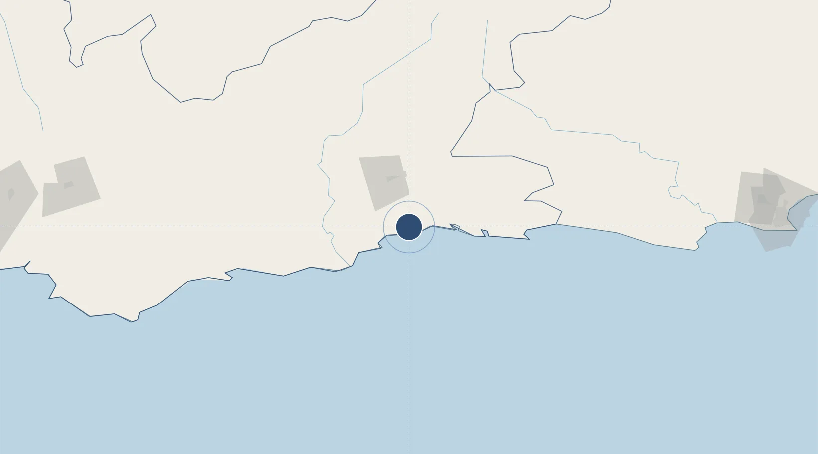
-34.0056°, 22.3789°
6,562 ft
Longest runway
1
Runways
648 ft
Elevation
Runway & Layout

Radio Frequencies
TWR
118.9 MHz
APP
128.2 MHz
George Approach
GTE
122.65 MHz
APRON
Navaids
GG NDB George 260 kHz
GGV VOR-DME George 112.50 MHz
Runways · 1
| Runway | Dimensions | Surface | True heading | Lit |
|---|---|---|---|---|
| 11/29 | 6,562 × 148ft | Asphalt | 089° | ✓ |
Airport Specifications
IATA code
GRJ
ICAO code
FAGG
Airport class
Large airport
Scheduled service
Yes
Runway surface
Asphalt
Served city
George
Location
Nearby Logistics Neighbours
Airports
- 1Oudtshoorn Airport48 km
- 2Plettenberg Bay Airport88 km
- 3Robertson Airport230 km
- 4Chief Dawid Stuurman International Airport299 km
- 5Cape Town International Airport348 km
Cities
- 1Greenhaven17 km
- 2De Rust60 km
- 3Ongelegen99 km
- 4Ladismith118 km
- 5Louterwater121 km
Ports
- 1Mossel Bay29 km
- 2Port Elizabeth301 km
- 3Simonstown364 km
- 4Cape Town366 km
- 5Saldanha Bay423 km
Trade Zones
DatabookThe Record of Consolidated Knowledge
South Africa beyond logistics?