Transport Functions
Multimodal
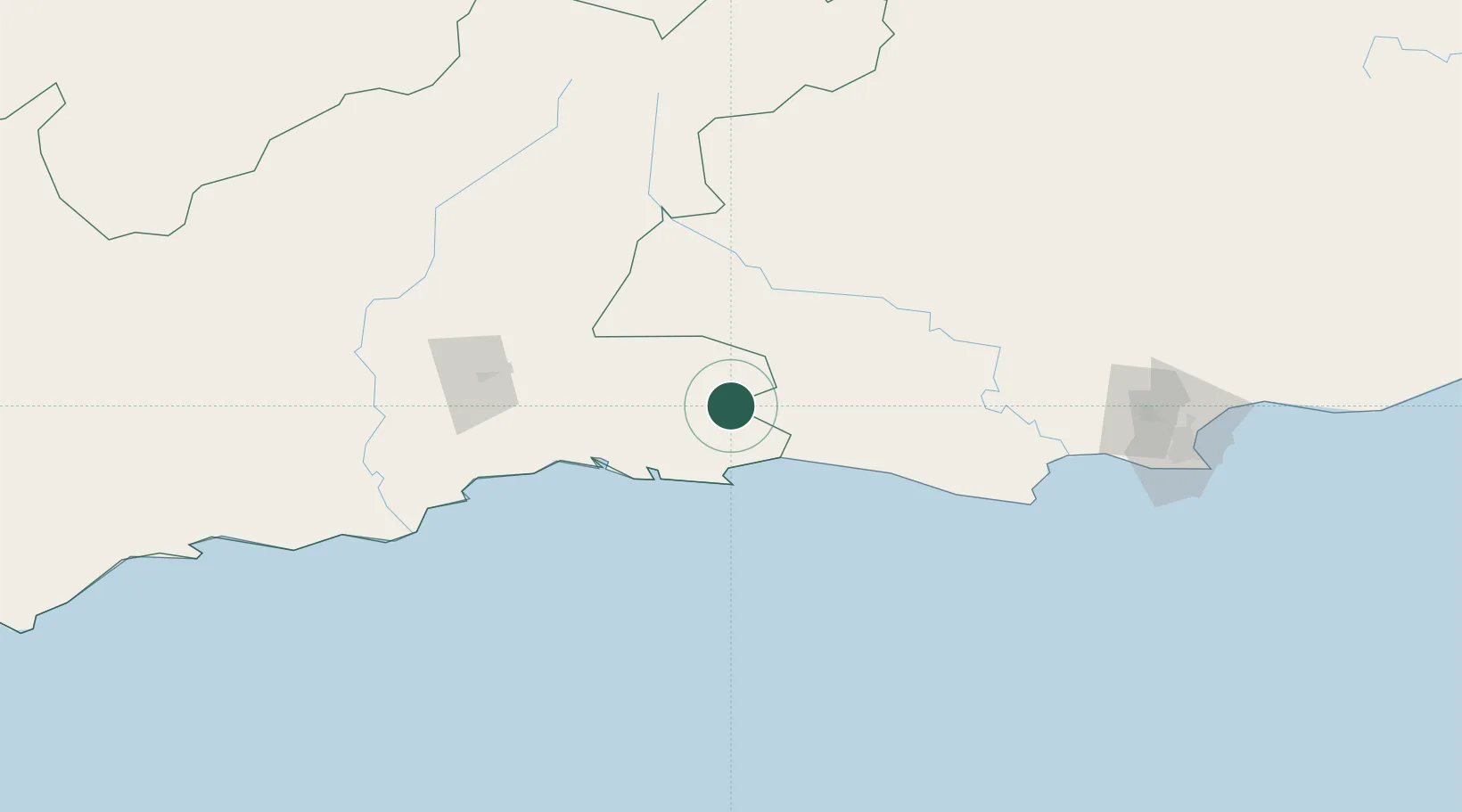
Hub Profile
Place type
Populated place
Region
Eastern Cape
Time zone
Africa/Johannesburg
Elevation
769 m
Location
Nearby Logistics Neighbours
Cities
- 1Louterwater26 km
- 2De Rust85 km
- 3Greenhaven116 km
- 4Humansdorp131 km
- 5Patensie131 km
Ports
- 1Mossel Bay126 km
- 2Port Elizabeth209 km
- 3East London427 km
- 4Simonstown461 km
- 5Cape Town461 km
Airports
- 1Plettenberg Bay Airport40 km
- 2George Airport99 km
- 3Oudtshoorn Airport113 km
- 4Chief Dawid Stuurman International Airport207 km
- 5Robertson Airport323 km
Trade Zones
DatabookThe Record of Consolidated Knowledge
South Africa beyond logistics?