UN/LOCODE hub · South Africa
ZALAD
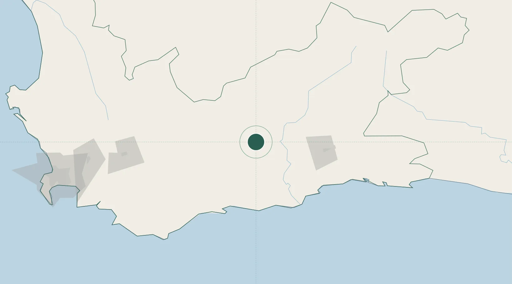
Ladismith
-33.4833°, 21.2667°
8,539
Population
2
Transport functions
Transport Functions
Rail
Road
Hub Profile
Place type
District seat
Region
Western Cape
Population
8,539
Time zone
Africa/Johannesburg
Elevation
544 m
Location
Nearby Logistics Neighbours
Cities
- 1Greenhaven106 km
- 2De Rust118 km
- 3Ashton119 km
- 4Riviersonderend146 km
- 5Hexrivier156 km
Ports
- 1Mossel Bay112 km
- 2Cape Town268 km
- 3Simonstown273 km
- 4Saldanha Bay311 km
- 5Port Elizabeth408 km
Airports
- 1Oudtshoorn Airport87 km
- 2George Airport118 km
- 3Robertson Airport131 km
- 4Plettenberg Bay Airport202 km
- 5Cape Town International Airport252 km
Trade Zones
DatabookThe Record of Consolidated Knowledge
South Africa beyond logistics?