Seaport · South Africa
Saldanha BayZASDB
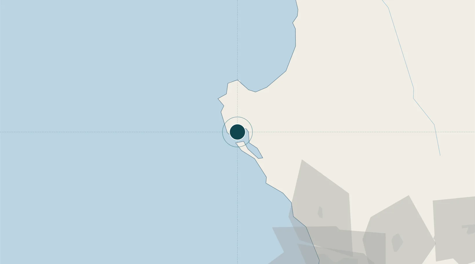
-33.0333°, 17.9667°
23.2 m
Channel depth
10.4
Port liner connectivity
Channel & Berth Profile
Pilotage, Tugs & Services
Pilotage compulsoryYES
Pilotage availableYES
Tug assistanceYES
Salvage tugsYES
Shore powerYES
Potable waterYES
Diesel bunkersYES
MedicalYES
Garbage disposalYES
Facilities & Capabilities
Container—
Ro-Ro—
Liquid bulk—
Dry bulk—
Oil terminal—
Break bulk—
Dry dock—
RepairsNO
BunkeringYES
Rail linkYES
Dangerous cargo—
ISPS security—
Harbour Specifications
Harbour size
Medium
Harbour type
Coastal (Breakwater)
Shelter
Fair
Water body
South Atlantic Ocean
Tidal range
2 m
Overhead limit
Yes
Pilotage
Yes
Liner Connectivity
10.4
PLSCI
Port Liner Shipping Connectivity Index for Saldanha Bay, as published by UNCTAD for the latest available quarter. Higher values indicate stronger scheduled liner-shipping integration.
Shown relative to the highest per-port PLSCI in the dataset (1,657.9).
Location
Nearby Logistics Neighbours
Ports
- 1Cape Town107 km
- 2Simonstown135 km
- 3Mossel Bay407 km
- 4Port Elizabeth719 km
- 5Luderitz Bay760 km
Cities
- 1Bottelary17 km
- 2Laaiplek34 km
- 3Piketberg73 km
- 4Dassenberg78 km
- 5Malmesbury85 km
Airports
- 1Saldanha/Vredenburg Airport8 km
- 2Langebaanweg Airport19 km
- 3Ysterplaat Air Force Base108 km
- 4Cape Town International Airport120 km
- 5Vredendal Airport164 km
Trade Zones
DatabookThe Record of Consolidated Knowledge
South Africa beyond logistics?