Channel & Berth Profile
Pilotage, Tugs & Services
Pilotage compulsoryYES
Pilotage advisableYES
Tug assistanceYES
Salvage tugsYES
Shore powerYES
Potable waterYES
Diesel bunkersNO
MedicalYES
Garbage disposalYES
Facilities & Capabilities
Container—
Ro-Ro—
Liquid bulk—
Dry bulk—
Oil terminal—
Break bulk—
Dry dockNO
RepairsNO
BunkeringNO
Rail linkYES
Dangerous cargo—
ISPS security—
Harbour Specifications
Harbour size
Very Small
Harbour type
Coastal (Breakwater)
Shelter
Good
Water body
South Atlantic Ocean
Tidal range
1 m
Pilotage
Yes
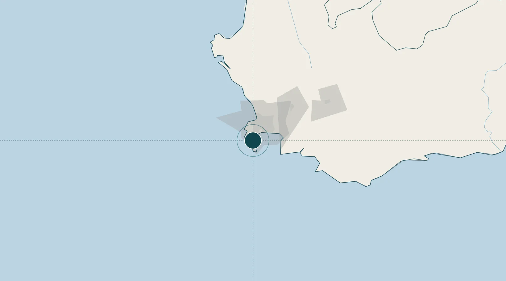
Location
Nearby Logistics Neighbours
Ports
- 1Cape Town30 km
- 2Saldanha Bay135 km
- 3Mossel Bay341 km
- 4Port Elizabeth664 km
- 5East London887 km
Cities
- 1Kommetjie12 km
- 2Tokai13 km
- 3Retreat15 km
- 4Kirstenhof (Kirstenbosch)16 km
- 5Dieprivier17 km
Airports
- 1Cape Town International Airport28 km
- 2Ysterplaat Air Force Base32 km
- 3Langebaanweg Airport138 km
- 4Robertson Airport141 km
- 5Saldanha/Vredenburg Airport143 km
Trade Zones
DatabookThe Record of Consolidated Knowledge
South Africa beyond logistics?