UN/LOCODE hub · South Africa
ZAZCA
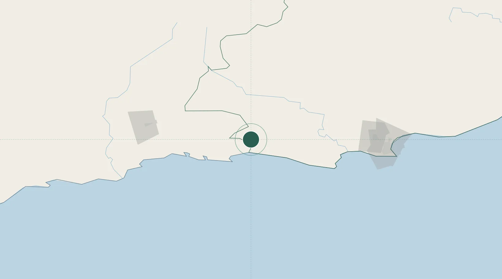
Louterwater
-33.8000°, 23.6667°
5,785
Population
1
Transport functions
Transport Functions
Multimodal
Hub Profile
Place type
Populated place
Region
Eastern Cape
Population
5,785
Time zone
Africa/Johannesburg
Elevation
670 m
Location
Nearby Logistics Neighbours
Cities
- 1Ongelegen26 km
- 2Humansdorp105 km
- 3Patensie106 km
- 4De Rust111 km
- 5Jansenville134 km
Ports
- 1Mossel Bay146 km
- 2Port Elizabeth183 km
- 3East London404 km
- 4Simonstown484 km
- 5Cape Town485 km
Airports
- 1Plettenberg Bay Airport45 km
- 2George Airport121 km
- 3Oudtshoorn Airport138 km
- 4Chief Dawid Stuurman International Airport181 km
- 5Robertson Airport348 km
Trade Zones
DatabookThe Record of Consolidated Knowledge
South Africa beyond logistics?