Transport Functions
Port
Multimodal
Hub Profile
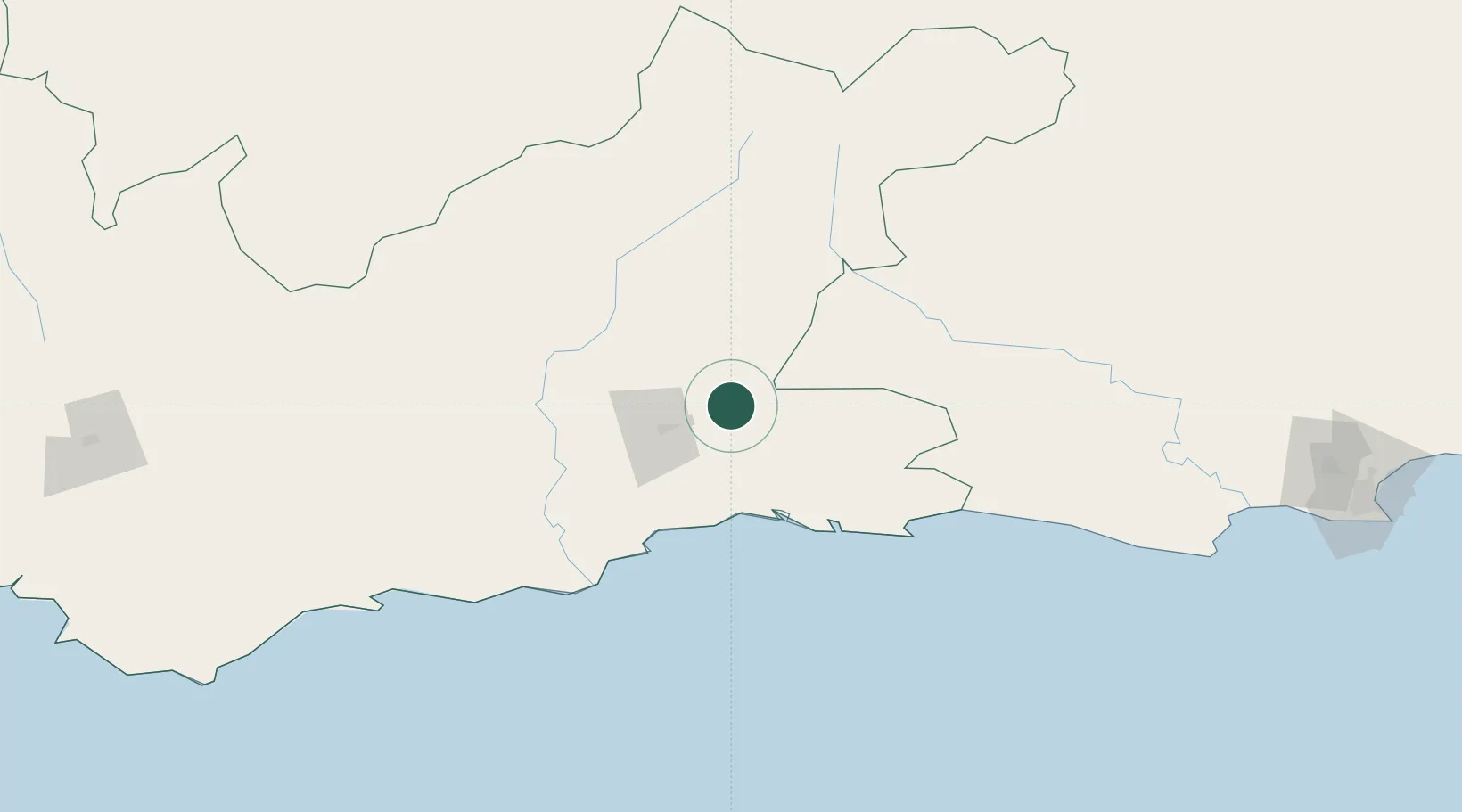
Place type
Populated place
Region
Western Cape
Population
4,272
Time zone
Africa/Johannesburg
Elevation
475 m
Location
Nearby Logistics Neighbours
Cities
- 1Greenhaven69 km
- 2Ongelegen85 km
- 3Louterwater111 km
- 4Ladismith118 km
- 5Murraysburg206 km
Ports
- 1Mossel Bay85 km
- 2Port Elizabeth292 km
- 3Cape Town384 km
- 4Simonstown386 km
- 5Saldanha Bay428 km
Airports
- 1Oudtshoorn Airport35 km
- 2George Airport60 km
- 3Plettenberg Bay Airport100 km
- 4Robertson Airport246 km
- 5Chief Dawid Stuurman International Airport291 km
Trade Zones
DatabookThe Record of Consolidated Knowledge
South Africa beyond logistics?