Medium airport · South Africa

Robertson AirportFARS
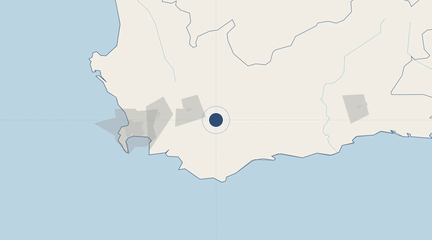
-33.8122°, 19.9028°
4,921 ft
Longest runway
2
Runways
640 ft
Elevation

Runway & Layout

Robertson Airport runway & taxiway layout
Runway & taxiway layout — OpenStreetMap (ODbL) / OurAirports

Radio Frequencies

CTAF
124.8 MHz
Robertson traffic
OurAirports

Runways · 2

RunwayDimensions SurfaceTrue headingLit
10/28 4,921 × 49ft ASP. Avgas available. 080°
14/32 2,395 × 59ft Grass - caution moles 113°
OurAirports

Airport Specifications

IATA code
ROD
OurAirports
ICAO code
FARS
OurAirports
Airport class
Medium airport
OurAirports
Scheduled service
No
OurAirports
Runway surface
ASP. Avgas available.
OurAirports
Served city
Robertson
OurAirports

Location

Location of FARS
Natural Earth 10m (public domain) · Western Cape · FARS · -33.81, 19.90GoogleOSMYandex

Nearby Logistics Neighbours

Airports
  1. 1Cape Town International Airport121 km
  2. 2Ysterplaat Air Force Base130 km
  3. 3Langebaanweg Airport187 km
  4. 4Saldanha/Vredenburg Airport203 km
  5. 5Oudtshoorn Airport213 km
Nearest neighbours — logibook spatial index (haversine) over the source coordinates
Cities
  1. 1Ashton14 km
  2. 2Riviersonderend38 km
  3. 3Hexrivier47 km
  4. 4Rawsonville56 km
  5. 5Villiersdorp60 km
Nearest neighbours — logibook spatial index (haversine) over the source coordinates
Ports
  1. 1Cape Town138 km
  2. 2Simonstown141 km
  3. 3Saldanha Bay200 km
  4. 4Mossel Bay211 km
  5. 5Port Elizabeth530 km
Nearest neighbours — logibook spatial index (haversine) over the source coordinates
Trade Zones
  1. 1Atlantis Special Economic Zone134 km
  2. 2Saldanha Bay Special Economic Zone194 km
  3. 3Namakwa (Nama-Khoi) Special Economic Zone518 km
  4. 4Coega Industrial Development Zone533 km
  5. 5Somerset East Industrial Park542 km
Nearest neighbours — logibook spatial index (haversine) over the source coordinates
DatabookThe Record of Consolidated Knowledge
South Africa beyond logistics?
Browse databook

All Sources

AirportsOurAirports
Public domain
Portsthe NGA World Port Index
Public domain (US gov)
LocationsUN/LOCODE
UN/LOCODE — free
Trade Zonesthe World Bank SEZ database
CC BY 4.0
Trade ZonesOpen Zone Map
CC BY
InfrastructureOpenStreetMap
ODbL 1.0
← South Africa airports