Transport Functions
Multimodal
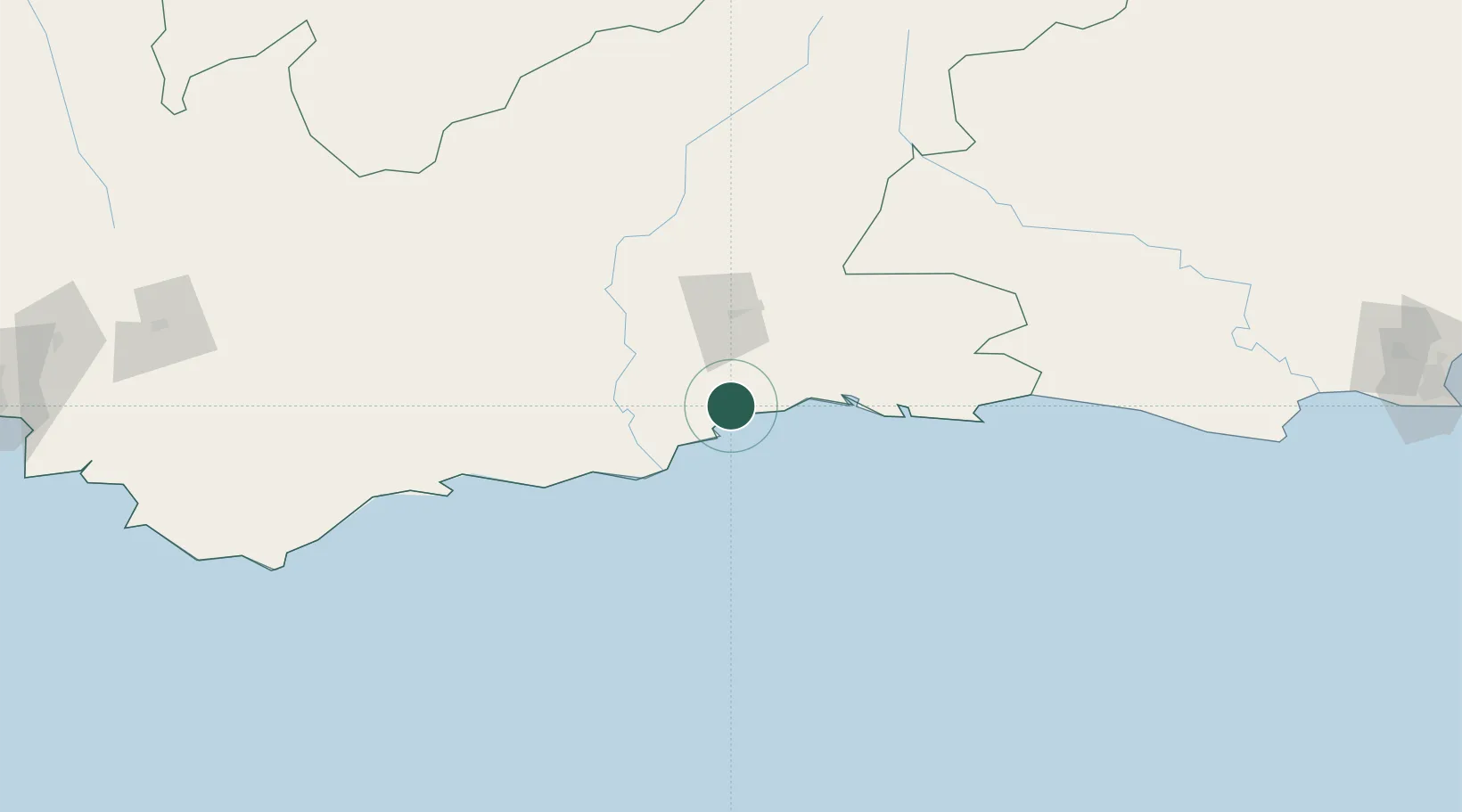
Hub Profile
Place type
Urban district
Region
Western Cape
Time zone
Africa/Johannesburg
Elevation
43 m
Location
Nearby Logistics Neighbours
Cities
- 1De Rust69 km
- 2Ladismith106 km
- 3Ongelegen116 km
- 4Louterwater138 km
- 5Ashton200 km
Ports
- 1Mossel Bay17 km
- 2Port Elizabeth318 km
- 3Simonstown347 km
- 4Cape Town349 km
- 5Saldanha Bay408 km
Airports
- 1George Airport17 km
- 2Oudtshoorn Airport47 km
- 3Plettenberg Bay Airport104 km
- 4Robertson Airport213 km
- 5Chief Dawid Stuurman International Airport315 km
Trade Zones
DatabookThe Record of Consolidated Knowledge
South Africa beyond logistics?