Medium airport · South Africa

Oudtshoorn AirportFAOH
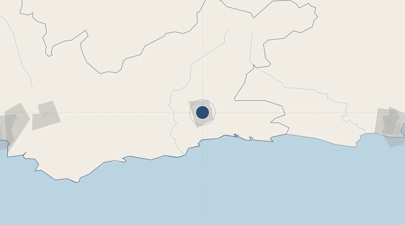
-33.6070°, 22.1890°
5,577 ft
Longest runway
1
Runways
1,063 ft
Elevation

Runway & Layout

Oudtshoorn Airport runway & taxiway layout
Runway & taxiway layout — OpenStreetMap (ODbL) / OurAirports

Radio Frequencies

APP
118.9 MHz
GEORGE APP
AFIS
131.1 MHz
Oudtshoorn Radio/Oudtshoorn Traffic
OurAirports

Navaids

OH NDB Oudtshoorn 367 kHz
OurAirports

Runways · 1

RunwayDimensions SurfaceTrue headingLit
04/22 5,577 × 98ft Asphalt 013°
OurAirports

Airport Specifications

IATA code
OUH
OurAirports
ICAO code
FAOH
OurAirports
Airport class
Medium airport
OurAirports
Scheduled service
No
OurAirports
Runway surface
Asphalt
OurAirports
Served city
Oudtshoorn
OurAirports

Location

Location of FAOH
Natural Earth 10m (public domain) · Western Cape · FAOH · -33.61, 22.19GoogleOSMYandex

Nearby Logistics Neighbours

Airports
  1. 1George Airport48 km
  2. 2Plettenberg Bay Airport118 km
  3. 3Robertson Airport213 km
  4. 4Chief Dawid Stuurman International Airport320 km
  5. 5Cape Town International Airport334 km
Nearest neighbours — logibook spatial index (haversine) over the source coordinates
Cities
  1. 1De Rust35 km
  2. 2Greenhaven47 km
  3. 3Ladismith87 km
  4. 4Ongelegen113 km
  5. 5Louterwater138 km
Nearest neighbours — logibook spatial index (haversine) over the source coordinates
Ports
  1. 1Mossel Bay63 km
  2. 2Port Elizabeth322 km
  3. 3Cape Town350 km
  4. 4Simonstown352 km
  5. 5Saldanha Bay397 km
Nearest neighbours — logibook spatial index (haversine) over the source coordinates
Trade Zones
  1. 1Coega Industrial Development Zone323 km
  2. 2Somerset East Industrial Park331 km
  3. 3Atlantis Special Economic Zone343 km
  4. 4Saldanha Bay Special Economic Zone390 km
  5. 5Dimbaza Industrial Park473 km
Nearest neighbours — logibook spatial index (haversine) over the source coordinates
DatabookThe Record of Consolidated Knowledge
South Africa beyond logistics?
Browse databook

All Sources

AirportsOurAirports
Public domain
Portsthe NGA World Port Index
Public domain (US gov)
LocationsUN/LOCODE
UN/LOCODE — free
Trade Zonesthe World Bank SEZ database
CC BY 4.0
Trade ZonesOpen Zone Map
CC BY
InfrastructureOpenStreetMap
ODbL 1.0
← South Africa airports