Free Trade Zone · South Africa

Atlantis Special Economic Zone Active
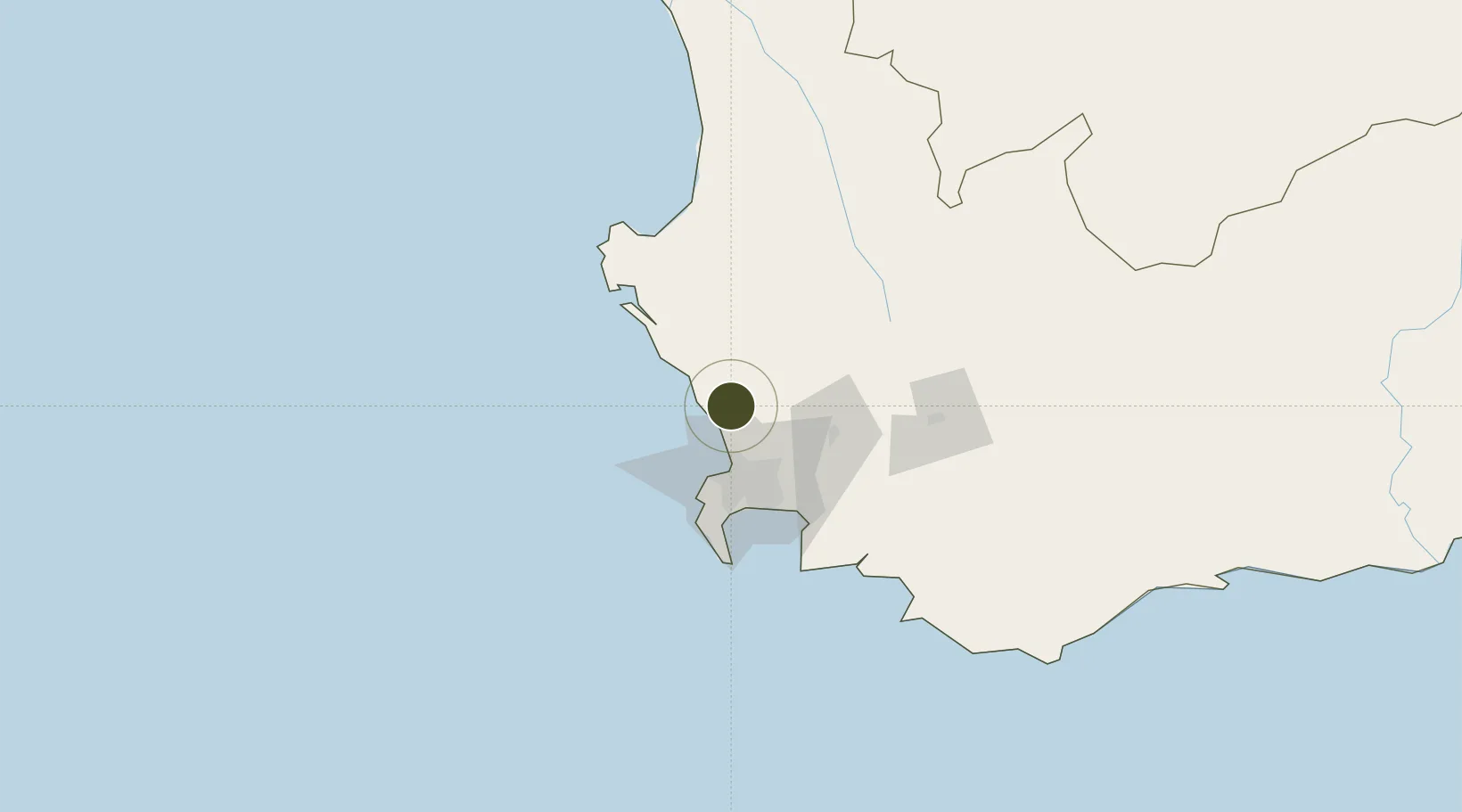
-33.5868°, 18.4843°
118 ha
Zone area
37.2 km
Nearest port
34.9 km
Nearest airport

Gateway access

Nearest neighbours — logibook spatial index (haversine) over the source coordinates

Zone profile

Zone type
Free Trade Zone
Open Zone Map
Region
Western Cape
Open Zone Map
Status
Active
Open Zone Map
Management
Public
Open Zone Map
Operator
Wesgro
Open Zone Map
Legal framework
Designation No. 41982 of Atlantis SEZ
Open Zone Map

Location

Location of ozm-4164
Natural Earth 10m (public domain) · Western Cape · ozm-4164 · -33.59, 18.48GoogleOSMYandex

Nearby Logistics Neighbours

Ports
  1. 1Cape Town37 km
  2. 2Simonstown67 km
  3. 3Saldanha Bay78 km
  4. 4Mossel Bay344 km
  5. 5Port Elizabeth663 km
Nearest neighbours — logibook spatial index (haversine) over the source coordinates
Airports
  1. 1Ysterplaat Air Force Base35 km
  2. 2Cape Town International Airport45 km
  3. 3Langebaanweg Airport75 km
  4. 4Saldanha/Vredenburg Airport84 km
  5. 5Robertson Airport134 km
Nearest neighbours — logibook spatial index (haversine) over the source coordinates
Cities
  1. 1Dassenberg9 km
  2. 2Philidelphia10 km
  3. 3Melkbosstrand17 km
  4. 4Klipheuwel24 km
  5. 5Bloubergstrand24 km
Nearest neighbours — logibook spatial index (haversine) over the source coordinates
Trade Zones
  1. 1Saldanha Bay Special Economic Zone76 km
  2. 2Namakwa (Nama-Khoi) Special Economic Zone488 km
  3. 3Upington Special Economic Zone630 km
  4. 4Coega Industrial Development Zone666 km
  5. 5Somerset East Industrial Park668 km
Nearest neighbours — logibook spatial index (haversine) over the source coordinates
DatabookThe Record of Consolidated Knowledge
South Africa beyond logistics?
Browse databook

All Sources

Trade ZonesOpen Zone Map
CC BY
Portsthe NGA World Port Index
Public domain (US gov)
AirportsOurAirports
Public domain
LocationsUN/LOCODE
UN/LOCODE — free
← South Africa trade zones