Channel & Berth Profile
Pilotage, Tugs & Services
Pilotage advisableYES
Shore powerYES
Potable waterYES
Diesel bunkersYES
Facilities & Capabilities
Container—
Ro-Ro—
Liquid bulk—
Dry bulk—
Oil terminal—
Break bulk—
Dry dock—
RepairsNO
Bunkering—
Rail link—
Dangerous cargo—
ISPS security—
Harbour Specifications
Harbour size
Small
Harbour type
Coastal (Natural)
Shelter
Good
Water body
North Atlantic Ocean
Tidal range
1.2 m
Overhead limit
Yes
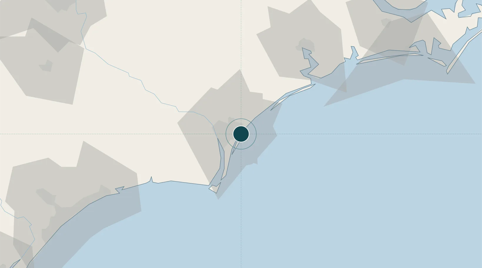
Location
Nearby Logistics Neighbours
Ports
- 1Wilmington12 km
- 2Southport38 km
- 3Morehead City117 km
- 4Beaufort119 km
- 5New Bern121 km
Cities
- 1Wilmington11 km
- 2Leland20 km
- 3Sunny Point29 km
- 4Atkinson48 km
- 5Sneads Ferry54 km
Airports
Trade Zones
- 1FTZ No. 214 Lenoir County112 km
- 2FTZ No. 093 Raleigh Durham212 km
- 3FTZ No. 021 Dorchester County297 km
- 4FTZ No. 230 Piedmont Triad Area305 km
- 5FTZ No. 127 West Columbia306 km
DatabookThe Record of Consolidated Knowledge
United States beyond logistics?