Foreign Trade Zone · United States

FTZ No. 127 West Columbia Active

33.9911°, -81.1283°
175.2 km
Nearest port
5.9 km
Nearest airport

Gateway access

Nearest neighbours — logibook spatial index (haversine) over the source coordinates

Zone profile

Zone type
Foreign Trade Zone
Open Zone Map
Region
South Carolina
Open Zone Map
Status
Active
Open Zone Map
Management
Public-Private Partnership
Open Zone Map
Operator
Richland-Lexington Airport District
Open Zone Map
Legal framework
Foreign-Trade Zones Act
Open Zone Map

Location

Location of ozm-4924
Natural Earth 10m (public domain) · South Carolina · ozm-4924 · 33.99, -81.13GoogleOSMYandex

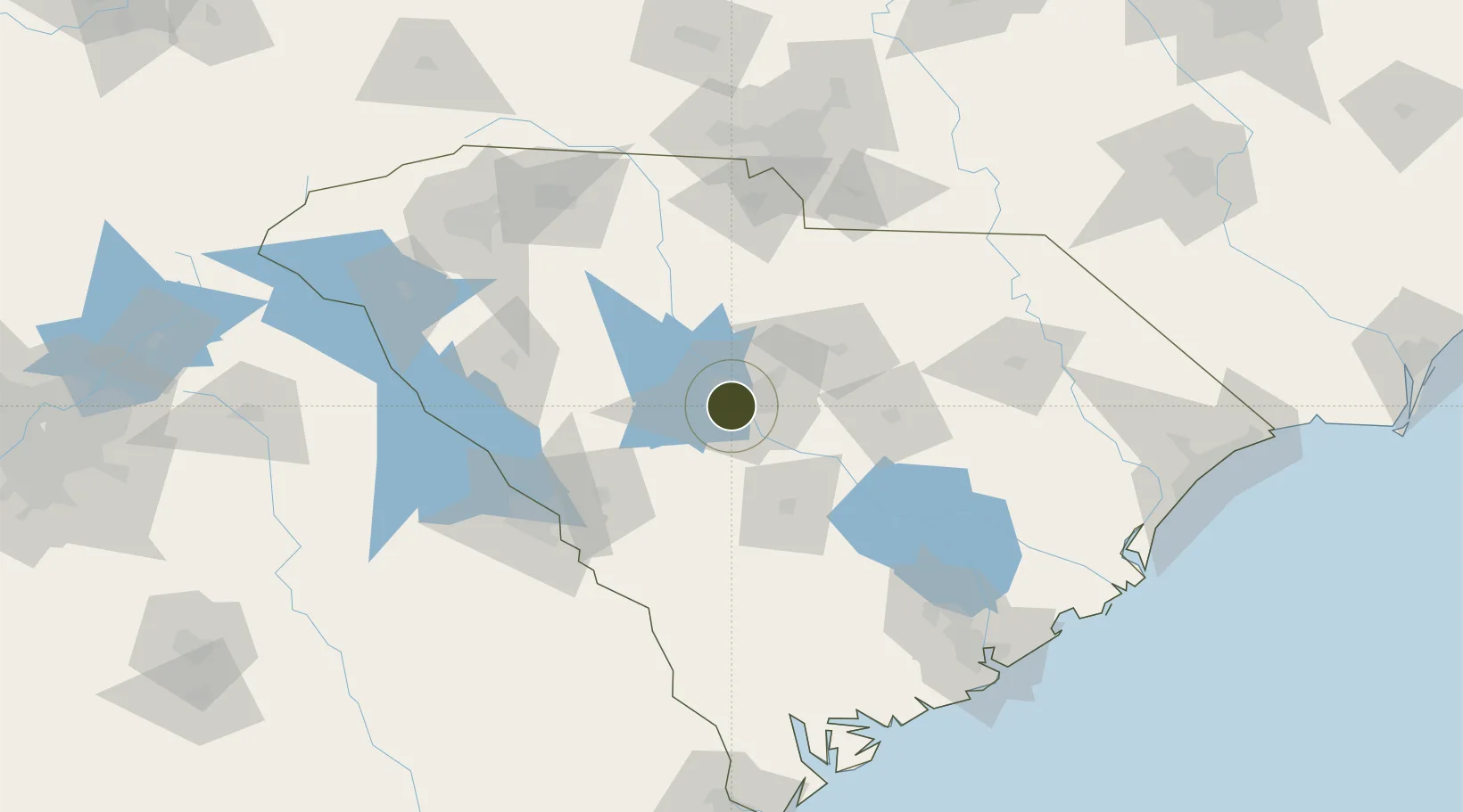
Nearby Logistics Neighbours

Ports
  1. 1Charleston175 km
  2. 2Beaufort179 km
  3. 3Georgetown184 km
  4. 4Port Royal185 km
  5. 5Savannah212 km
Nearest neighbours — logibook spatial index (haversine) over the source coordinates
Airports
  1. 1Columbia Metropolitan Airport6 km
  2. 2Jim Hamilton L.B. Owens Airport13 km
  3. 3Mc Entire Joint National Guard Base31 km
  4. 4Shaw Air Force Base61 km
  5. 5Orangeburg Municipal Airport64 km
Nearest neighbours — logibook spatial index (haversine) over the source coordinates
Cities
  1. 1Fort Jackson13 km
  2. 2Hopkins26 km
  3. 3Gilbert26 km
  4. 4Pelion29 km
  5. 5Swansea29 km
Nearest neighbours — logibook spatial index (haversine) over the source coordinates
Trade Zones
  1. 1FTZ No. 021 Dorchester County109 km
  2. 2FTZ No. 057 Mecklenburg County141 km
  3. 3FTZ No. 038 Spartanburg County143 km
  4. 4FTZ No. 104 Savannah211 km
  5. 5FTZ No. 230 Piedmont Triad Area260 km
Nearest neighbours — logibook spatial index (haversine) over the source coordinates
DatabookThe Record of Consolidated Knowledge
United States beyond logistics?
Browse databook

All Sources

Trade ZonesOpen Zone Map
CC BY
Portsthe NGA World Port Index
Public domain (US gov)
AirportsOurAirports
Public domain
LocationsUN/LOCODE
UN/LOCODE — free
← United States trade zones