Seaport · United States
WilmingtonUSILM
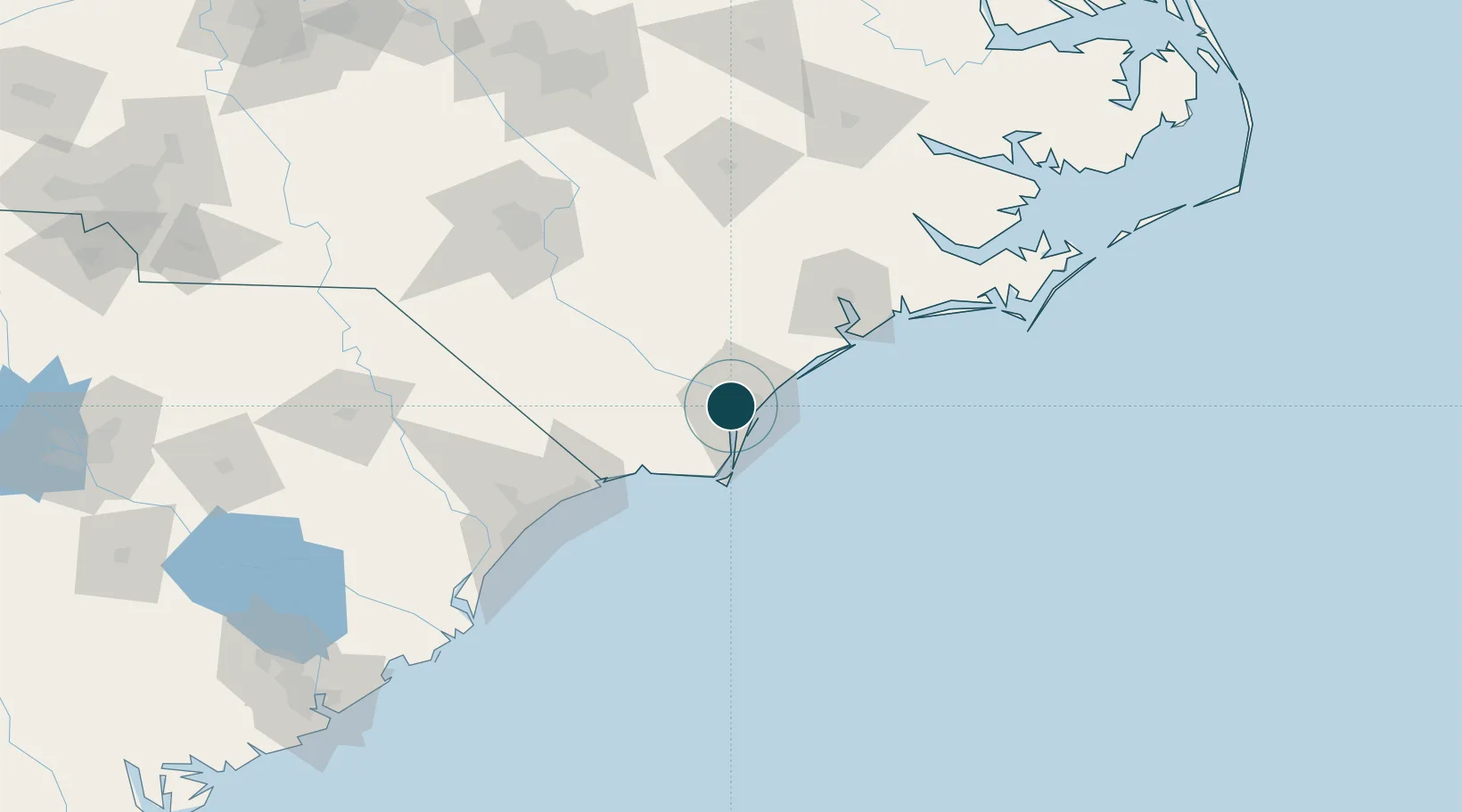
34.2333°, -77.9500°
11.0 m
Channel depth
1
Container terminals
59.7
Port liner connectivity
Channel & Berth Profile
Pilotage, Tugs & Services
Pilotage compulsoryYES
Tug assistanceYES
Shore powerYES
Potable waterYES
Diesel bunkersYES
MedicalYES
Garbage disposalYES
Facilities & Capabilities
Container—
Ro-Ro—
Liquid bulk—
Dry bulk—
Oil terminal—
Break bulk—
Dry dockNO
RepairsNO
BunkeringYES
Rail linkYES
Dangerous cargo—
ISPS security—
Harbour Specifications
Harbour size
Medium
Harbour type
River (Natural)
Shelter
Good
Water body
North Atlantic Ocean
Tidal range
1.2 m
Pilotage
Yes
Liner Connectivity
59.7
PLSCI
Port Liner Shipping Connectivity Index for Wilmington, as published by UNCTAD for the latest available quarter. Higher values indicate stronger scheduled liner-shipping integration.
Shown relative to the highest per-port PLSCI in the dataset (1,657.9).
Location
Container Terminals · 1
PORT OF WILMINGTON (NC) TERMINAL
NCSPA NORTH CAROLINA STATE PORT AUTHORITY
Nearby Logistics Neighbours
Ports
- 1Wrightsville12 km
- 2Southport36 km
- 3Morehead City127 km
- 4New Bern127 km
- 5Beaufort129 km
Cities
- 1Leland8 km
- 2Wrightsville Beach21 km
- 3Sunny Point28 km
- 4Atkinson39 km
- 5Lake Waccamaw51 km
Airports
Trade Zones
- 1FTZ No. 214 Lenoir County110 km
- 2FTZ No. 093 Raleigh Durham205 km
- 3FTZ No. 021 Dorchester County287 km
- 4FTZ No. 127 West Columbia294 km
- 5FTZ No. 230 Piedmont Triad Area295 km
DatabookThe Record of Consolidated Knowledge
United States beyond logistics?