Transport Functions
Port
Hub Profile
Place type
Populated place
Region
Virginia
Time zone
America/New_York
Elevation
633 m
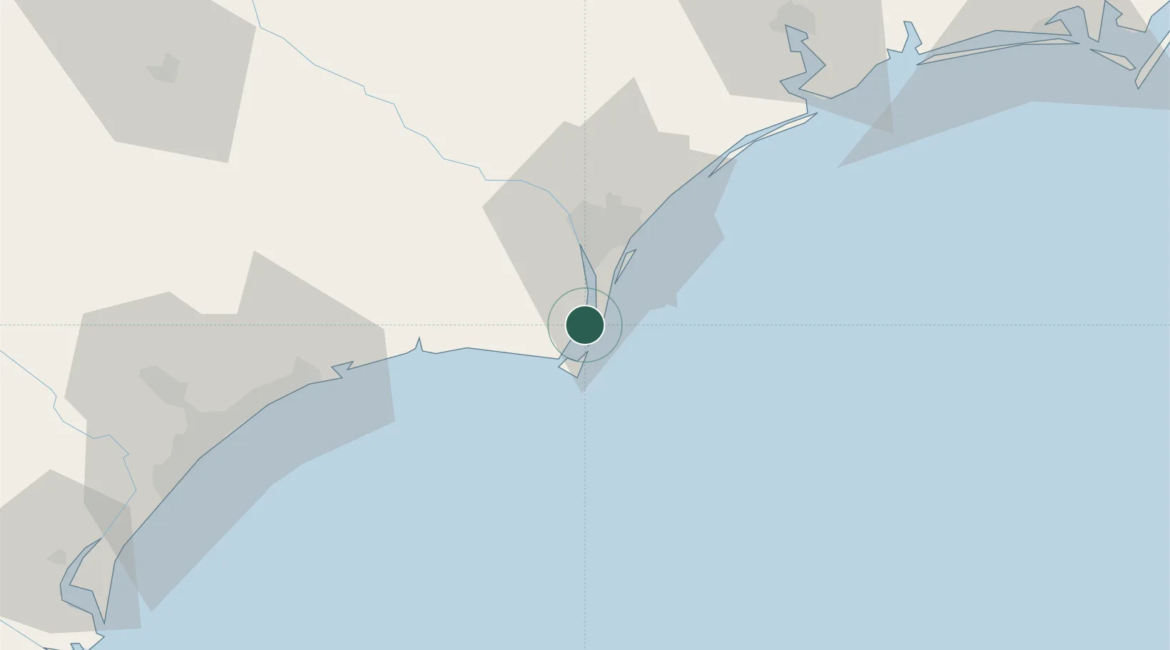
Location
Nearby Logistics Neighbours
Cities
- 1Wilmington24 km
- 2Leland31 km
- 3Wrightsville Beach46 km
- 4Calabash58 km
- 5Lake Waccamaw63 km
Ports
- 1Southport10 km
- 2Wilmington28 km
- 3Wrightsville29 km
- 4Morehead City141 km
- 5Georgetown141 km
Airports
Trade Zones
- 1FTZ No. 214 Lenoir County137 km
- 2FTZ No. 093 Raleigh Durham231 km
- 3FTZ No. 021 Dorchester County276 km
- 4FTZ No. 127 West Columbia293 km
- 5FTZ No. 230 Piedmont Triad Area317 km
DatabookThe Record of Consolidated Knowledge
United States beyond logistics?