Medium airport · United States

Albert J Ellis AirportKOAJ
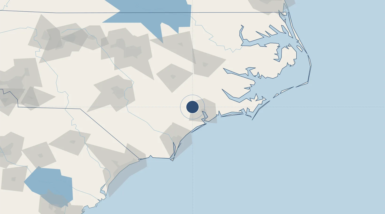
34.8292°, -77.6121°
7,100 ft
Longest runway
1
Runways
94 ft
Elevation

Runway & Layout

Albert J Ellis Airport runway & taxiway layout
Runway & taxiway layout — OpenStreetMap (ODbL) / OurAirports

Radio Frequencies

AWOS
124.475 MHz
AWOS 3
A/D
121.4 MHz
WILMINGTON APP/DEP
UNIC
123 MHz
CTAF/UNICOM
OurAirports

Runways · 1

RunwayDimensions SurfaceTrue headingLit
05/23 7,100 × 150ft Asphalt 044°
OurAirports

Airport Specifications

IATA code
OAJ
OurAirports
ICAO code
KOAJ
OurAirports
Airport class
Medium airport
OurAirports
Scheduled service
Yes
OurAirports
Runway surface
Asphalt
OurAirports
Served city
Richlands
OurAirports

Location

Location of KOAJ
Natural Earth 10m (public domain) · North Carolina · KOAJ · 34.83, -77.61GoogleOSMYandex

Nearby Logistics Neighbours

Airports
  1. 1MCAS New River / McCutcheon Field21 km
  2. 2Kinston Regional Jetport At Stallings Field56 km
  3. 3Coastal Carolina Regional Airport59 km
  4. 4Seymour Johnson Air Force Base65 km
  5. 5Cherry Point MCAS / Cunningham Field/67 km
Nearest neighbours — logibook spatial index (haversine) over the source coordinates
Cities
  1. 1Beulaville17 km
  2. 2Pink Hill28 km
  3. 3Midway Park28 km
  4. 4Sneads Ferry37 km
  5. 5Cedar Point52 km
Nearest neighbours — logibook spatial index (haversine) over the source coordinates
Ports
  1. 1New Bern59 km
  2. 2Wrightsville71 km
  3. 3Wilmington73 km
  4. 4Morehead City84 km
  5. 5Beaufort87 km
Nearest neighbours — logibook spatial index (haversine) over the source coordinates
Trade Zones
  1. 1FTZ No. 214 Lenoir County50 km
  2. 2FTZ No. 093 Raleigh Durham168 km
  3. 3FTZ No. 020 Suffolk250 km
  4. 4FTZ No. 230 Piedmont Triad Area275 km
  5. 5FTZ No. 207 Richmond300 km
Nearest neighbours — logibook spatial index (haversine) over the source coordinates
DatabookThe Record of Consolidated Knowledge
United States beyond logistics?
Browse databook

All Sources

AirportsOurAirports
Public domain
Portsthe NGA World Port Index
Public domain (US gov)
LocationsUN/LOCODE
UN/LOCODE — free
Trade Zonesthe World Bank SEZ database
CC BY 4.0
Trade ZonesOpen Zone Map
CC BY
InfrastructureOpenStreetMap
ODbL 1.0
← United States airports