Medium airport · United States
Wilmington International AirportKILM
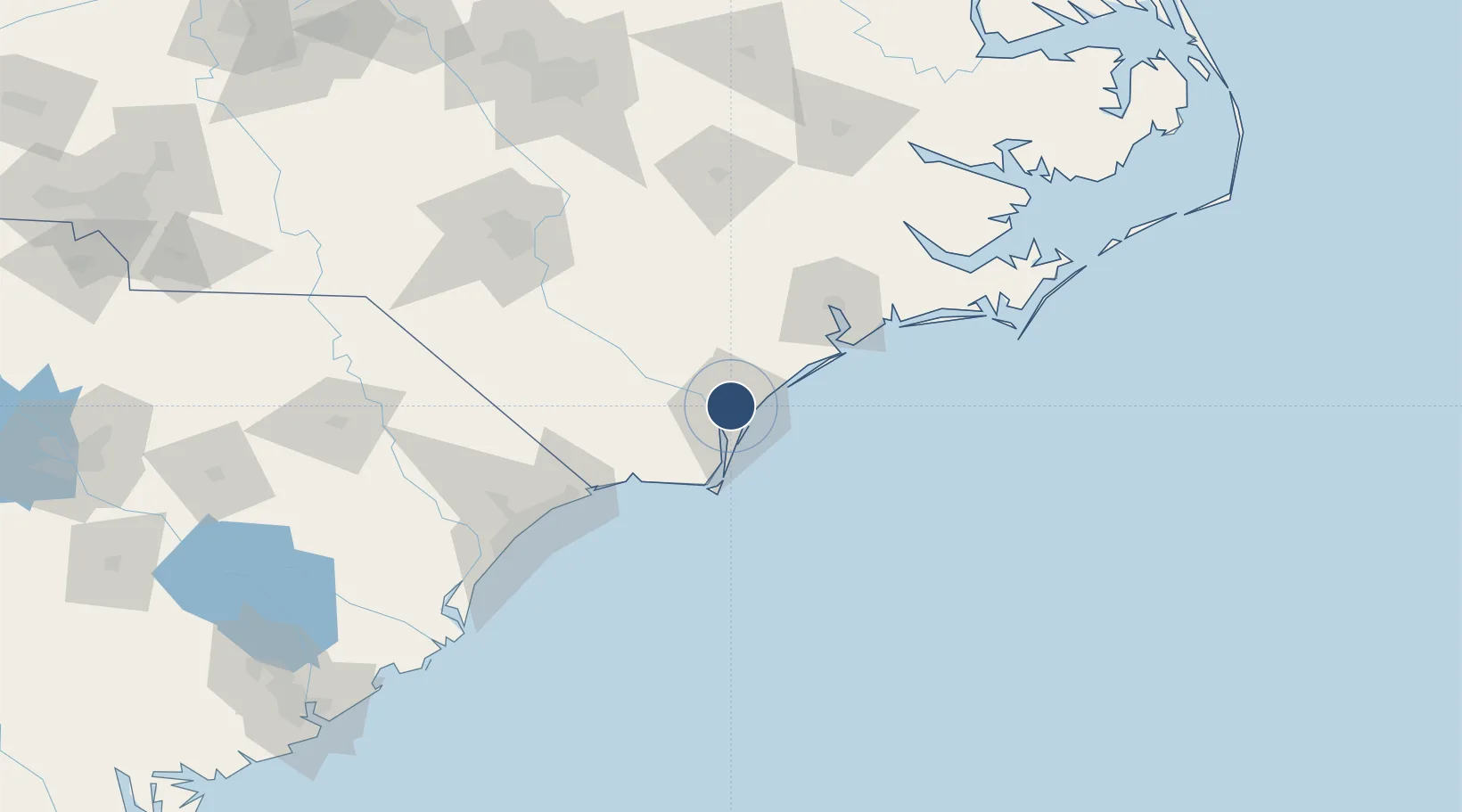
34.2723°, -77.9051°
8,016 ft
Longest runway
2
Runways
32 ft
Elevation
Runway & Layout

Radio Frequencies
ATIS
124.975 MHz
TWR
119.9 MHz
CTAF
119.9 MHz
A/D
118.25 MHz
WILMINGTON APP/DEP 164-343
A/D
135.75 MHz
WILMINGTON APP/DEP 344-163
GCCD
121.9 MHz
GND/CLNC DEL
RDO
122.55 MHz
RALEIGH RDO
UNIC
122.95 MHz
UNICOM
Navaids
CLB NDB Carolina Beach 216 kHz
IL NDB Airli 281 kHz
ILM VORTAC Wilmington 117.00 MHz
Runways · 2
| Runway | Dimensions | Surface | True heading | Lit |
|---|---|---|---|---|
| 06/24 | 8,016 × 150ft | Concrete | 048° | ✓ |
| 17/35 | 7,754 × 150ft | Asphalt | 159° | ✓ |
Airport Specifications
IATA code
ILM
ICAO code
KILM
Airport class
Medium airport
Scheduled service
Yes
Runway surface
Concrete
Served city
Wilmington
Location
Nearby Logistics Neighbours
Airports
Cities
- 1Wilmington8 km
- 2Leland12 km
- 3Wrightsville Beach15 km
- 4Sunny Point32 km
- 5Atkinson38 km
Ports
- 1Wilmington6 km
- 2Wrightsville10 km
- 3Southport41 km
- 4New Bern121 km
- 5Morehead City121 km
Trade Zones
- 1FTZ No. 214 Lenoir County105 km
- 2FTZ No. 093 Raleigh Durham203 km
- 3FTZ No. 021 Dorchester County292 km
- 4FTZ No. 230 Piedmont Triad Area295 km
- 5FTZ No. 127 West Columbia298 km
DatabookThe Record of Consolidated Knowledge
United States beyond logistics?