UN/LOCODE hub · United States
USWGC
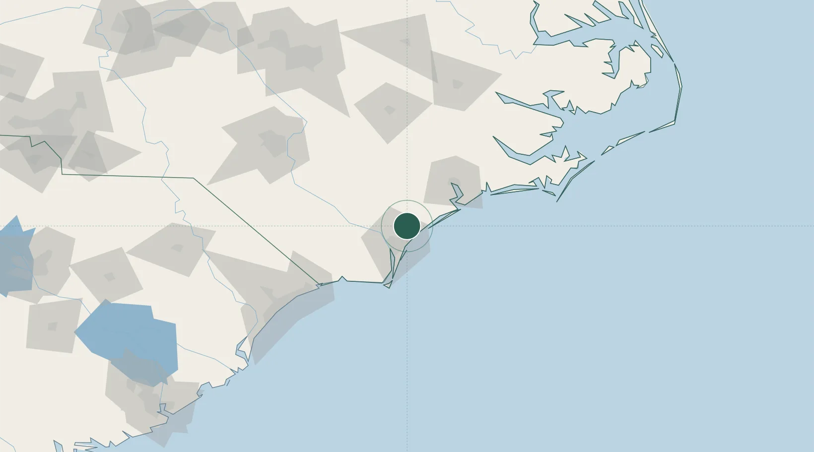
Wrightsville Beach
34.3833°, -77.8167°
2,564
Population
2
Transport functions
Transport Functions
Road
Multimodal
Hub Profile
Place type
Populated place
Region
North Carolina
Population
2,564
Time zone
America/New_York
Elevation
1 m
Location
Nearby Logistics Neighbours
Cities
- 1Wilmington23 km
- 2Leland25 km
- 3Atkinson36 km
- 4Sneads Ferry44 km
- 5Sunny Point46 km
Ports
- 1Wilmington21 km
- 2Southport55 km
- 3New Bern106 km
- 4Morehead City109 km
- 5Beaufort112 km
Airports
Trade Zones
- 1FTZ No. 214 Lenoir County93 km
- 2FTZ No. 093 Raleigh Durham196 km
- 3FTZ No. 230 Piedmont Triad Area292 km
- 4FTZ No. 020 Suffolk303 km
- 5FTZ No. 021 Dorchester County305 km
DatabookThe Record of Consolidated Knowledge
United States beyond logistics?