Medium airport · United States
Cherry Point MCAS / Cunningham Field/KNKT
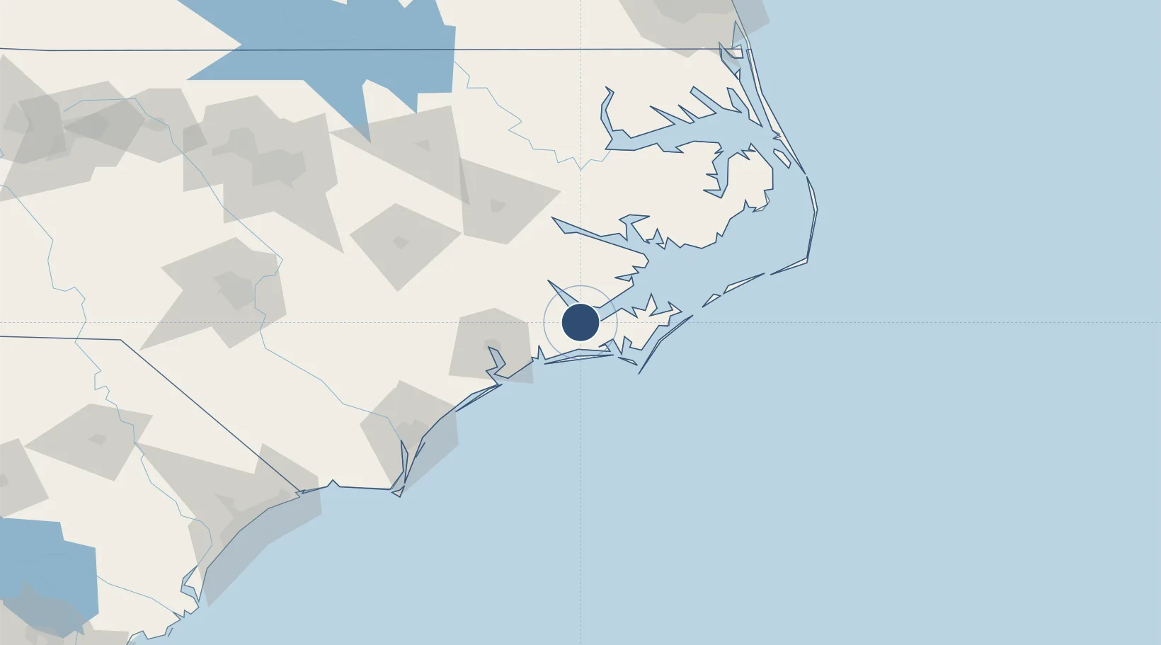
34.9009°, -76.8807°
8,978 ft
Longest runway
4
Runways
29 ft
Elevation
Runway & Layout

Radio Frequencies
ATIS
24.487 MHz
TWR
121.3 MHz
GND
128.625 MHz
CLD
125.95 MHz
CLNC DEL
A/D
29.96 MHz
APP/DEP
A/D
119.35 MHz
APP/DEP
OPS
126.2 MHz
BASE OPS
PMSV
34.35 MHz
PMSV METRO
Navaids
NKT TACAN Cherry Point 112.80 MHz
Runways · 4
| Runway | Dimensions | Surface | True heading | Lit |
|---|---|---|---|---|
| 14L/32R | 8,978 × 200ft | Asphalt | 136° | ✓ |
| 05L/23R | 8,489 × 196ft | Asphalt | 046° | ✓ |
| 14R/32L | 8,397 × 200ft | Asphalt | 136° | ✓ |
| 05R/23L | 8,189 × 200ft | Asphalt | 046° | ✓ |
Airport Specifications
ICAO code
KNKT
Airport class
Medium airport
Scheduled service
No
Runway surface
Asphalt
Served city
Cherry Point
Location
Nearby Logistics Neighbours
Airports
Cities
- 1Havelock4 km
- 2Holly Springs, Carteret11 km
- 3Newport13 km
- 4Atlantic Beach26 km
- 5Morehead City26 km
Ports
- 1Morehead City26 km
- 2New Bern27 km
- 3Beaufort28 km
- 4Washington74 km
- 5Belhaven83 km
Trade Zones
- 1FTZ No. 214 Lenoir County99 km
- 2FTZ No. 093 Raleigh Durham215 km
- 3FTZ No. 020 Suffolk226 km
- 4FTZ No. 207 Richmond298 km
- 5FTZ No. 230 Piedmont Triad Area329 km
DatabookThe Record of Consolidated Knowledge
United States beyond logistics?