UN/LOCODE hub · United States
USILM
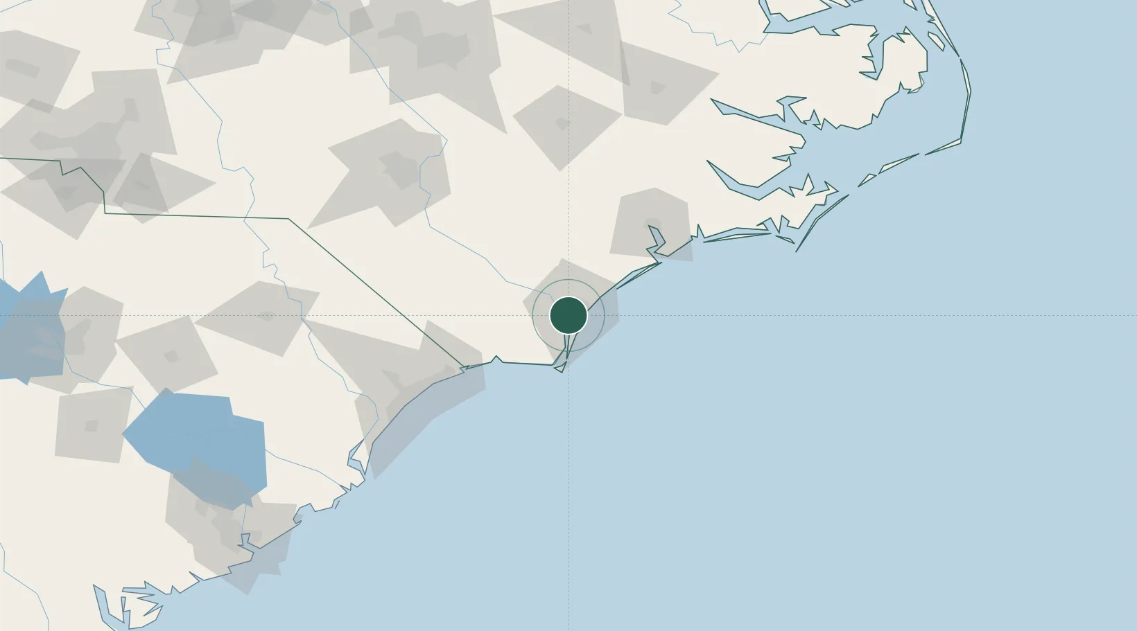
Wilmington
34.1999°, -77.9298°
115,933
Population
2
Transport functions
1
Container terminals
Transport Functions
Port
Airport
Hub Profile
Place type
Provincial seat
Region
North Carolina
Population
115,933
Time zone
America/New_York
Elevation
9 m
Logistics facilities
11
Container terminals
1
Location
Nearby Logistics Neighbours
Cities
- 1Leland11 km
- 2Wrightsville Beach23 km
- 3Sunny Point24 km
- 4Atkinson43 km
- 5Lake Waccamaw54 km
Ports
- 1Wrightsville11 km
- 2Southport33 km
- 3Morehead City127 km
- 4New Bern128 km
- 5Beaufort129 km
Airports
Trade Zones
- 1FTZ No. 214 Lenoir County113 km
- 2FTZ No. 093 Raleigh Durham209 km
- 3FTZ No. 021 Dorchester County287 km
- 4FTZ No. 127 West Columbia295 km
- 5FTZ No. 230 Piedmont Triad Area299 km
DatabookThe Record of Consolidated Knowledge
United States beyond logistics?