Foreign Trade Zone · United States

FTZ No. 021 Dorchester County Active
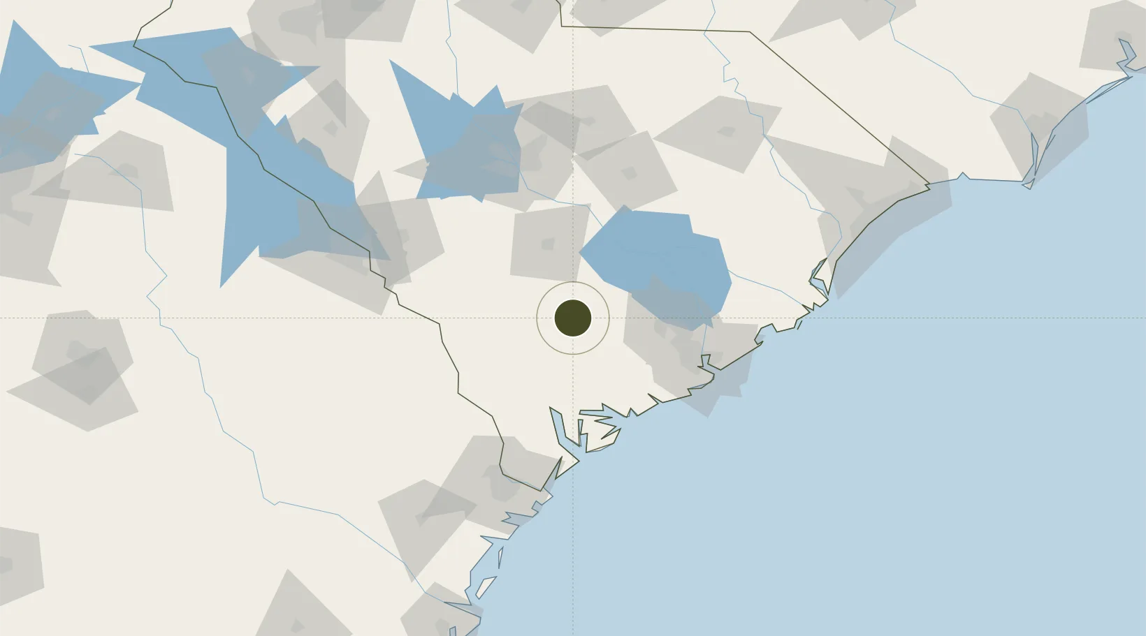
33.0751°, -80.7156°
71.5 km
Nearest port
44.5 km
Nearest airport

Gateway access

Nearest neighbours — logibook spatial index (haversine) over the source coordinates

Zone profile

Zone type
Foreign Trade Zone
Open Zone Map
Region
South Carolina
Open Zone Map
Status
Active
Open Zone Map
Management
Public
Open Zone Map
Operator
South Carolina State Ports Authority
Open Zone Map
Legal framework
Foreign-Trade Zones Act
Open Zone Map

Location

Location of ozm-4807
Natural Earth 10m (public domain) · South Carolina · ozm-4807 · 33.08, -80.72GoogleOSMYandex

Nearby Logistics Neighbours

Ports
  1. 1Beaufort72 km
  2. 2Port Royal79 km
  3. 3Charleston81 km
  4. 4Savannah116 km
  5. 5Georgetown137 km
Nearest neighbours — logibook spatial index (haversine) over the source coordinates
Airports
  1. 1Orangeburg Municipal Airport45 km
  2. 2Charleston International Airport66 km
  3. 3Beaufort MCAS - Merritt Field67 km
  4. 4Mc Entire Joint National Guard Base94 km
  5. 5Hilton Head Airport95 km
Nearest neighbours — logibook spatial index (haversine) over the source coordinates
Cities
  1. 1Ruffin12 km
  2. 2Harleyville30 km
  3. 3Holly Hill40 km
  4. 4Varnville41 km
  5. 5Early Branch42 km
Nearest neighbours — logibook spatial index (haversine) over the source coordinates
Trade Zones
  1. 1FTZ No. 127 West Columbia109 km
  2. 2FTZ No. 104 Savannah115 km
  3. 3FTZ No. 144 Brunswick226 km
  4. 4FTZ No. 057 Mecklenburg County245 km
  5. 5FTZ No. 038 Spartanburg County246 km
Nearest neighbours — logibook spatial index (haversine) over the source coordinates
DatabookThe Record of Consolidated Knowledge
United States beyond logistics?
Browse databook

All Sources

Trade ZonesOpen Zone Map
CC BY
Portsthe NGA World Port Index
Public domain (US gov)
AirportsOurAirports
Public domain
LocationsUN/LOCODE
UN/LOCODE — free
← United States trade zones