Foreign Trade Zone · United States

FTZ No. 093 Raleigh Durham Active
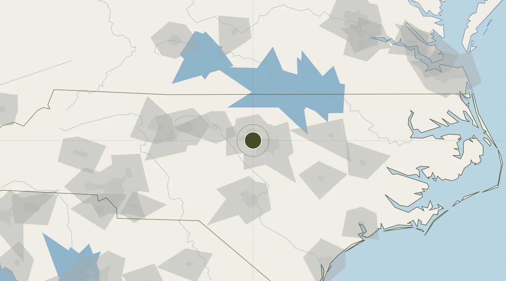
35.9056°, -78.9049°
172.0 km
Nearest port
11.0 km
Nearest airport

Gateway access

Nearest neighbours — logibook spatial index (haversine) over the source coordinates

Zone profile

Zone type
Foreign Trade Zone
Open Zone Map
Region
North Carolina
Open Zone Map
Status
Active
Open Zone Map
Management
Public
Open Zone Map
Operator
Triangle J Council of Governments
Open Zone Map
Legal framework
Foreign-Trade Zones Act
Open Zone Map

Location

Location of ozm-4832
Natural Earth 10m (public domain) · North Carolina · ozm-4832 · 35.91, -78.90GoogleOSMYandex

Nearby Logistics Neighbours

Ports
  1. 1Washington172 km
  2. 2New Bern190 km
  3. 3Plymouth194 km
  4. 4Wilmington205 km
  5. 5Edenton207 km
Nearest neighbours — logibook spatial index (haversine) over the source coordinates
Airports
  1. 1Raleigh-Durham International Airport11 km
  2. 2Johnston Regional Airport62 km
  3. 3Pope Field82 km
  4. 4Lake Country Regional Airport83 km
  5. 5Danville Regional Airport84 km
Nearest neighbours — logibook spatial index (haversine) over the source coordinates
Cities
  1. 1Research Triangle Park2 km
  2. 2Morrisville13 km
  3. 3Carrboro16 km
  4. 4New Hill25 km
  5. 5Hillsborough25 km
Nearest neighbours — logibook spatial index (haversine) over the source coordinates
Trade Zones
  1. 1FTZ No. 230 Piedmont Triad Area116 km
  2. 2FTZ No. 214 Lenoir County119 km
  3. 3FTZ No. 238 Dublin208 km
  4. 4FTZ No. 057 Mecklenburg County210 km
  5. 5FTZ No. 207 Richmond216 km
Nearest neighbours — logibook spatial index (haversine) over the source coordinates
DatabookThe Record of Consolidated Knowledge
United States beyond logistics?
Browse databook

All Sources

Trade ZonesOpen Zone Map
CC BY
Portsthe NGA World Port Index
Public domain (US gov)
AirportsOurAirports
Public domain
LocationsUN/LOCODE
UN/LOCODE — free
← United States trade zones