Transport Functions
Rail
Road
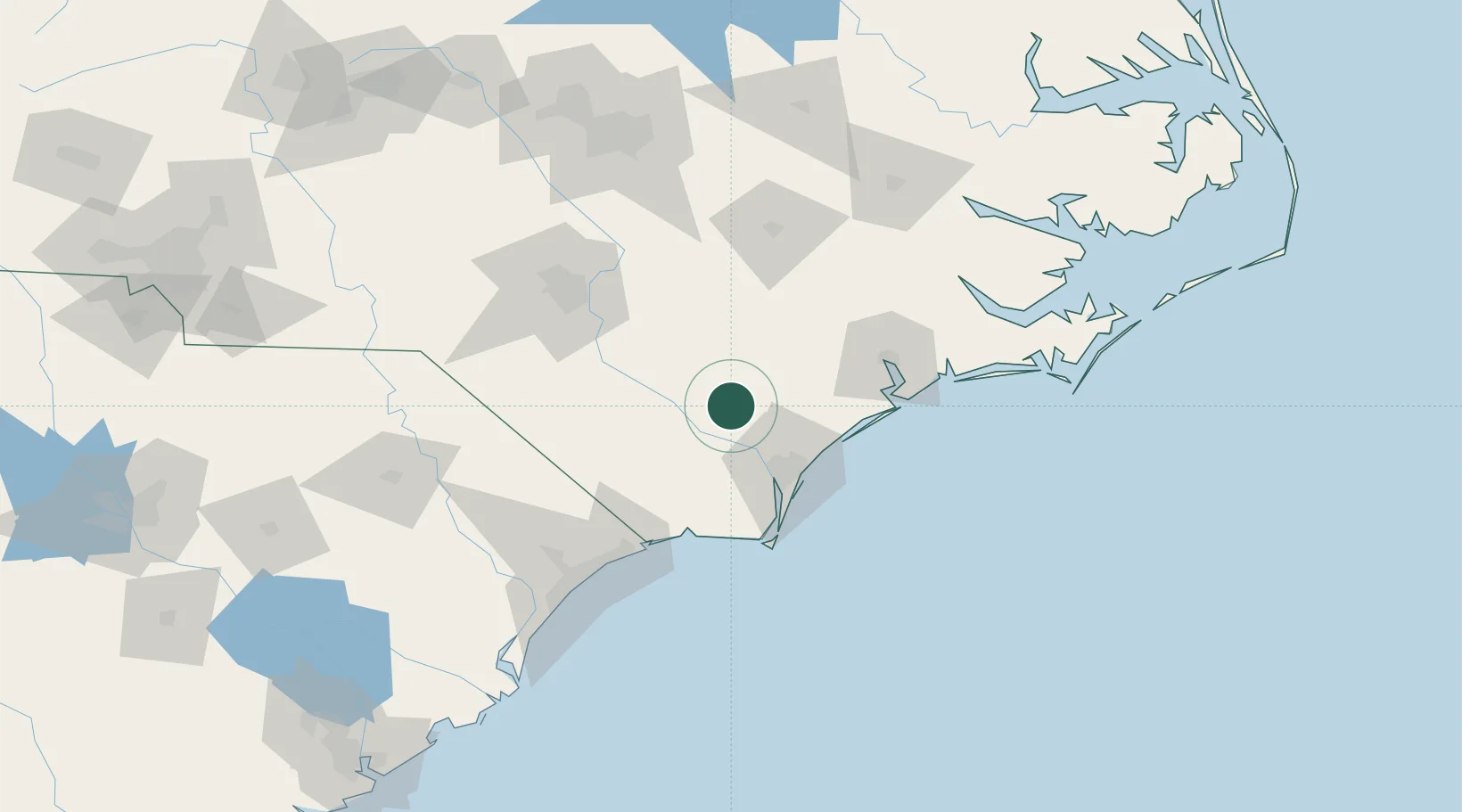
Hub Profile
Place type
Populated place
Region
North Carolina
Population
329
Time zone
America/New_York
Elevation
19 m
Location
Nearby Logistics Neighbours
Cities
- 1Leland34 km
- 2Wrightsville Beach36 km
- 3Lake Waccamaw39 km
- 4Wilmington43 km
- 5Roseboro55 km
Ports
- 1Wilmington39 km
- 2Wrightsville48 km
- 3Southport70 km
- 4New Bern120 km
- 5Morehead City136 km
Airports
Trade Zones
DatabookThe Record of Consolidated Knowledge
United States beyond logistics?