Seaport · United States
Morehead CityUSMRH
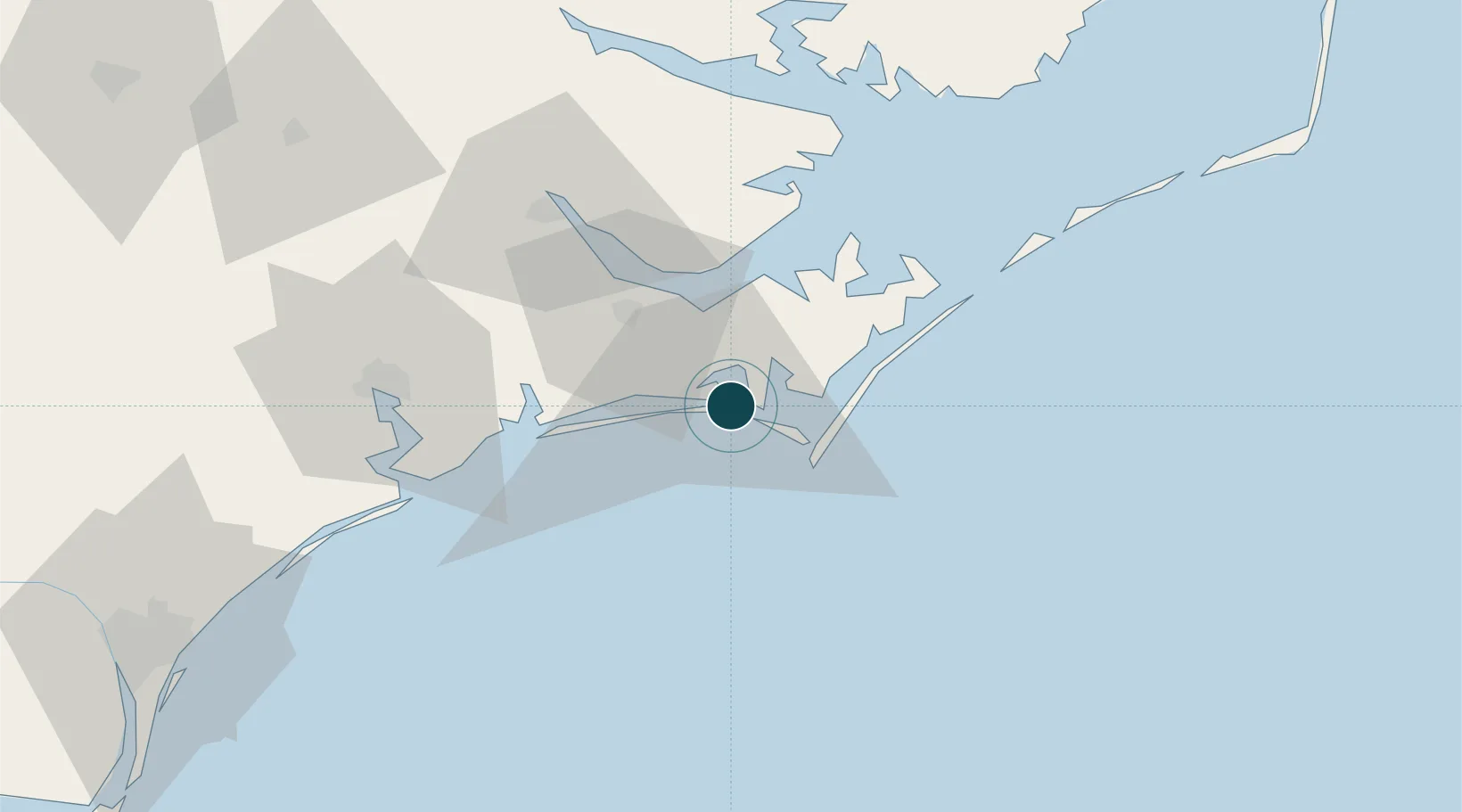
34.7167°, -76.7000°
7.9 m
Channel depth
13.4
Port liner connectivity
Channel & Berth Profile
Pilotage, Tugs & Services
Pilotage compulsoryYES
Tug assistanceYES
Potable waterYES
Diesel bunkersYES
MedicalYES
Garbage disposalYES
Facilities & Capabilities
Container—
Ro-Ro—
Liquid bulk—
Dry bulk—
Oil terminal—
Break bulk—
Dry dockNO
RepairsNO
BunkeringYES
Rail linkYES
Dangerous cargo—
ISPS security—
Harbour Specifications
Harbour size
Very Small
Harbour type
Coastal (Natural)
Shelter
Good
Water body
North Atlantic Ocean
Tidal range
0.9 m
Overhead limit
No
Pilotage
Yes
Liner Connectivity
13.4
PLSCI
Port Liner Shipping Connectivity Index for Morehead City, as published by UNCTAD for the latest available quarter. Higher values indicate stronger scheduled liner-shipping integration.
Shown relative to the highest per-port PLSCI in the dataset (1,657.9).
Location
Nearby Logistics Neighbours
Ports
- 1Beaufort3 km
- 2New Bern53 km
- 3Washington98 km
- 4Belhaven100 km
- 5Wrightsville117 km
Cities
- 1Atlantic Beach4 km
- 2Newport17 km
- 3Smyrna17 km
- 4Holly Springs, Carteret21 km
- 5Havelock27 km
Airports
Trade Zones
- 1FTZ No. 214 Lenoir County122 km
- 2FTZ No. 093 Raleigh Durham240 km
- 3FTZ No. 020 Suffolk245 km
- 4FTZ No. 207 Richmond322 km
- 5FTZ No. 230 Piedmont Triad Area353 km
DatabookThe Record of Consolidated Knowledge
United States beyond logistics?