Foreign Trade Zone · United States

FTZ No. 214 Lenoir County Active
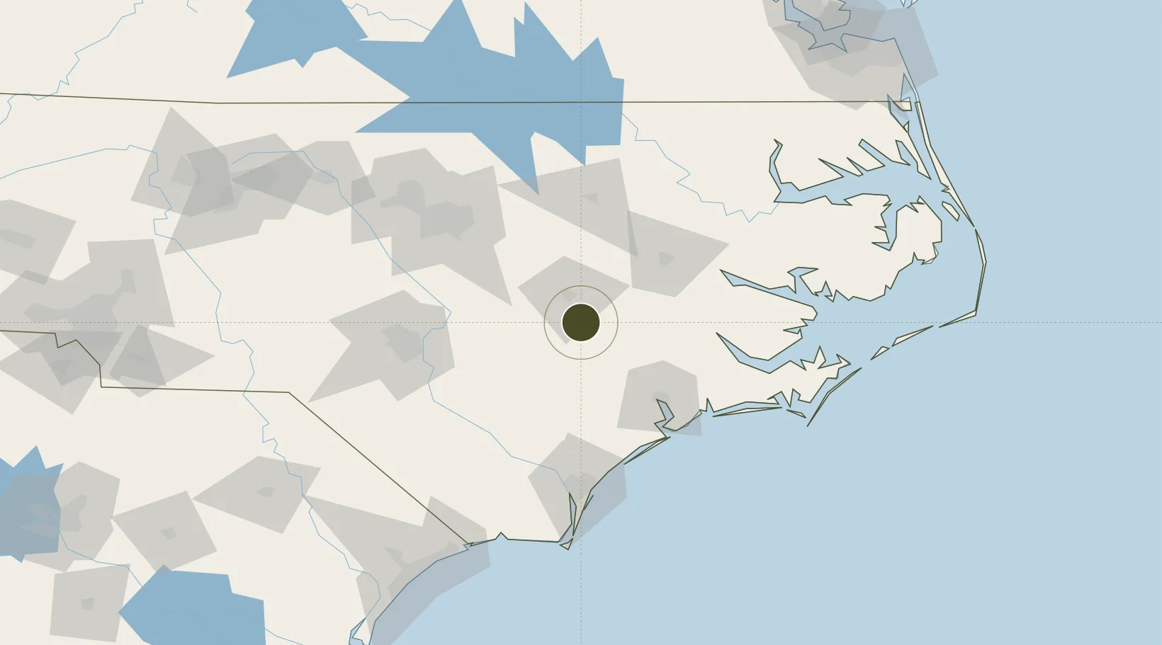
35.2172°, -77.8927°
77.7 km
Nearest port
14.9 km
Nearest airport

Gateway access

Nearest neighbours — logibook spatial index (haversine) over the source coordinates

Zone profile

Zone type
Foreign Trade Zone
Open Zone Map
Region
North Carolina
Open Zone Map
Status
Active
Open Zone Map
Management
Public
Open Zone Map
Operator
North Carolina Department of Transportation
Open Zone Map
Legal framework
Foreign-Trade Zones Act
Open Zone Map

Location

Location of ozm-4818
Natural Earth 10m (public domain) · North Carolina · ozm-4818 · 35.22, -77.89GoogleOSMYandex

Nearby Logistics Neighbours

Ports
  1. 1New Bern78 km
  2. 2Washington85 km
  3. 3Wilmington110 km
  4. 4Wrightsville112 km
  5. 5Morehead City122 km
Nearest neighbours — logibook spatial index (haversine) over the source coordinates
Airports
  1. 1Seymour Johnson Air Force Base15 km
  2. 2Kinston Regional Jetport At Stallings Field29 km
  3. 3Albert J Ellis Airport50 km
  4. 4Johnston Regional Airport58 km
  5. 5Pitt-Greenville Airport66 km
Nearest neighbours — logibook spatial index (haversine) over the source coordinates
Cities
  1. 1La Grange14 km
  2. 2Pink Hill23 km
  3. 3Beulaville35 km
  4. 4Grifton45 km
  5. 5Kenly46 km
Nearest neighbours — logibook spatial index (haversine) over the source coordinates
Trade Zones
  1. 1FTZ No. 093 Raleigh Durham119 km
  2. 2FTZ No. 020 Suffolk223 km
  3. 3FTZ No. 230 Piedmont Triad Area231 km
  4. 4FTZ No. 207 Richmond258 km
  5. 5FTZ No. 057 Mecklenburg County290 km
Nearest neighbours — logibook spatial index (haversine) over the source coordinates
DatabookThe Record of Consolidated Knowledge
United States beyond logistics?
Browse databook

All Sources

Trade ZonesOpen Zone Map
CC BY
Portsthe NGA World Port Index
Public domain (US gov)
AirportsOurAirports
Public domain
LocationsUN/LOCODE
UN/LOCODE — free
← United States trade zones