Seaport · United States

SouthportUSXMK

33.9167°, -78.0167°
9.4 m
Channel depth

Channel & Berth Profile

SEA LEVEL (CD)CHANNEL BEDCargo pier · 6.4 mChannel · 9.4 mAnchorage · 9.4 m
NGA World Port Index

Pilotage, Tugs & Services

Pilotage compulsoryYES
Potable waterYES
Diesel bunkersYES
NGA World Port Index

Facilities & Capabilities

Container
Ro-Ro
Liquid bulk
Dry bulk
Oil terminal
Break bulk
Dry dock
RepairsNO
Bunkering
Rail linkYES
Dangerous cargo
ISPS security
NGA World Port Index

Harbour Specifications

Harbour size
Very Small
NGA World Port Index
Harbour type
River (Natural)
NGA World Port Index
Shelter
Good
NGA World Port Index
Water body
North Atlantic Ocean
NGA World Port Index
Tidal range
1.2 m
NGA World Port Index
Overhead limit
No
NGA World Port Index
Pilotage
Yes
NGA World Port Index

Location

Location of USXMK
Natural Earth 10m (public domain) · North Carolina · USXMK · 33.92, -78.02GoogleOSMYandex

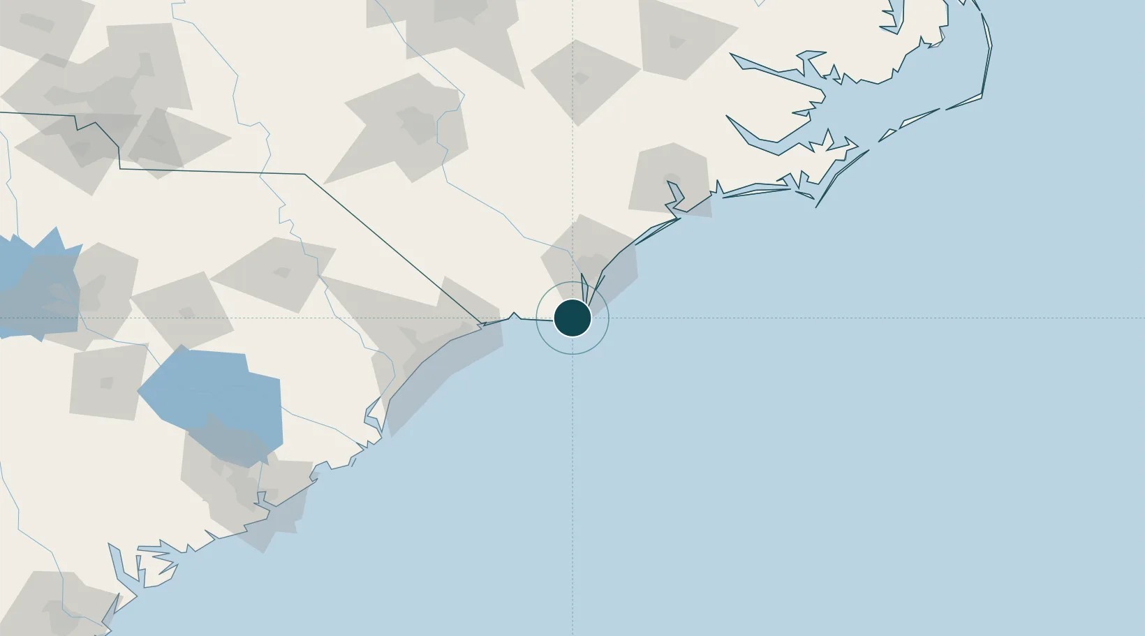
Nearby Logistics Neighbours

Ports
  1. 1Wilmington36 km
  2. 2Wrightsville38 km
  3. 3Georgetown132 km
  4. 4Morehead City150 km
  5. 5Beaufort153 km
Nearest neighbours — logibook spatial index (haversine) over the source coordinates
Cities
  1. 1Sunny Point10 km
  2. 2Wilmington33 km
  3. 3Leland37 km
  4. 4Calabash51 km
  5. 5Wrightsville Beach55 km
Nearest neighbours — logibook spatial index (haversine) over the source coordinates
Airports
  1. 1Wilmington International Airport41 km
  2. 2Grand Strand Airport66 km
  3. 3Myrtle Beach International Airport88 km
  4. 4MCAS New River / McCutcheon Field103 km
  5. 5Albert J Ellis Airport108 km
Nearest neighbours — logibook spatial index (haversine) over the source coordinates
Trade Zones
  1. 1FTZ No. 214 Lenoir County145 km
  2. 2FTZ No. 093 Raleigh Durham236 km
  3. 3FTZ No. 021 Dorchester County267 km
  4. 4FTZ No. 127 West Columbia287 km
  5. 5FTZ No. 057 Mecklenburg County318 km
Nearest neighbours — logibook spatial index (haversine) over the source coordinates
DatabookThe Record of Consolidated Knowledge
United States beyond logistics?
Browse databook

All Sources

Portsthe NGA World Port Index
Public domain (US gov)
AirportsOurAirports
Public domain
LocationsUN/LOCODE
UN/LOCODE — free
Trade Zonesthe World Bank SEZ database
CC BY 4.0
Trade ZonesOpen Zone Map
CC BY
← United States ports