UN/LOCODE hub · United States
USSKD
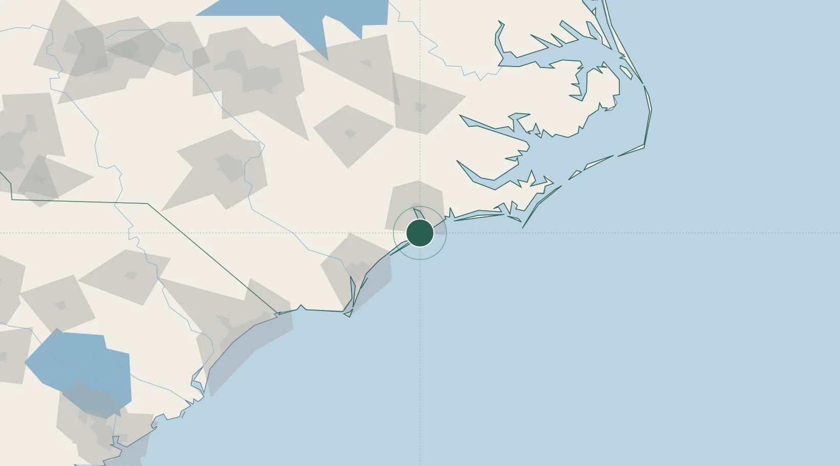
Sneads Ferry
34.5500°, -77.3833°
2,646
Population
2
Transport functions
Transport Functions
Road
Multimodal
Hub Profile
Place type
Populated place
Region
North Carolina
Population
2,646
Time zone
America/New_York
Elevation
8 m
Location
Nearby Logistics Neighbours
Cities
- 1Midway Park19 km
- 2Cedar Point33 km
- 3Cape Carteret33 km
- 4Wrightsville Beach44 km
- 5Holly Springs, Carteret52 km
Ports
- 1Wrightsville54 km
- 2Wilmington63 km
- 3Morehead City65 km
- 4Beaufort68 km
- 5New Bern68 km
Airports
Trade Zones
- 1FTZ No. 214 Lenoir County88 km
- 2FTZ No. 093 Raleigh Durham205 km
- 3FTZ No. 020 Suffolk273 km
- 4FTZ No. 230 Piedmont Triad Area310 km
- 5FTZ No. 207 Richmond331 km
DatabookThe Record of Consolidated Knowledge
United States beyond logistics?