Medium airport · United States
MCAS New River / McCutcheon FieldKNCA
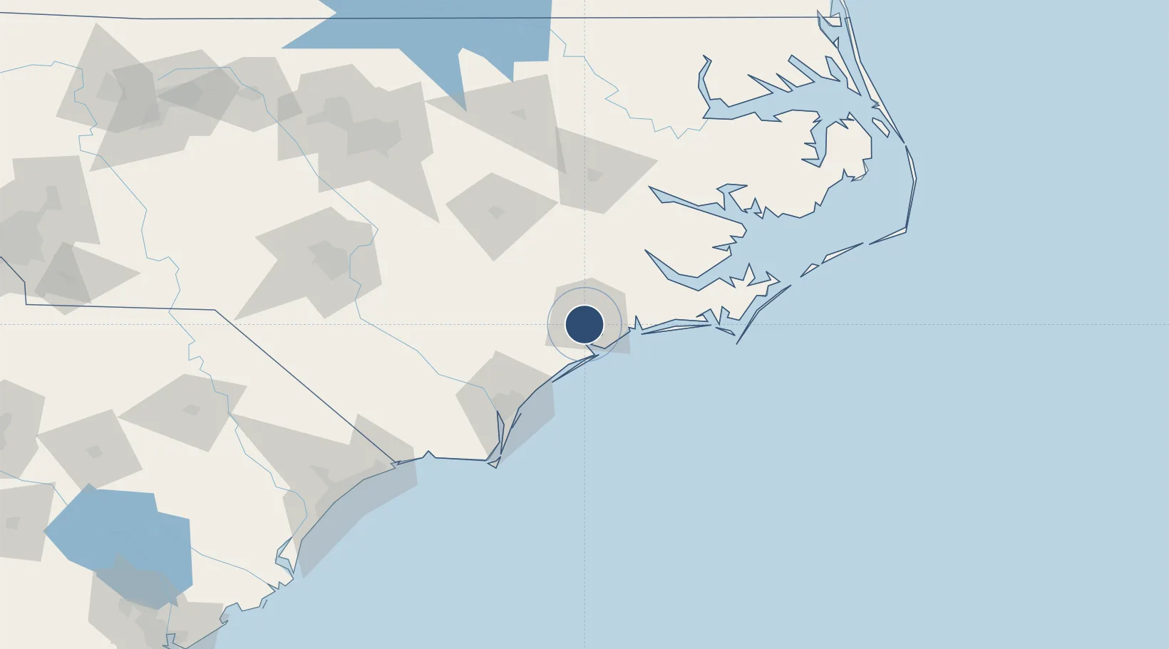
34.7084°, -77.4397°
5,125 ft
Longest runway
2
Runways
26 ft
Elevation
Runway & Layout

Radio Frequencies
ATIS
28.832 MHz
TWR
120 MHz
GND
121.8 MHz
CLD
23.902 MHz
CLNC DEL
A/D
119.35 MHz
CHERRY POINT APP/DEP
ARR
124.85 MHz
ARRIVAL
OPS
23.64 MHz
PMSV
24.477 MHz
PMSV METRO
Navaids
NCA TACAN New River 115.40 MHz
Runways · 2
| Runway | Dimensions | Surface | True heading | Lit |
|---|---|---|---|---|
| 05/23 | 5,125 × 150ft | Asphalt | 045° | ✓ |
| 01/19 | 4,789 × 150ft | Asphalt | 360° | ✓ |
Airport Specifications
ICAO code
KNCA
Airport class
Medium airport
Scheduled service
No
Runway surface
Asphalt
Served city
Jacksonville
Location
Nearby Logistics Neighbours
Airports
Cities
- 1Midway Park10 km
- 2Sneads Ferry18 km
- 3Cedar Point34 km
- 4Cape Carteret34 km
- 5Beulaville38 km
Ports
- 1New Bern56 km
- 2Wrightsville65 km
- 3Morehead City68 km
- 4Wilmington71 km
- 5Beaufort71 km
Trade Zones
- 1FTZ No. 214 Lenoir County70 km
- 2FTZ No. 093 Raleigh Durham188 km
- 3FTZ No. 020 Suffolk258 km
- 4FTZ No. 230 Piedmont Triad Area296 km
- 5FTZ No. 207 Richmond313 km
DatabookThe Record of Consolidated Knowledge
United States beyond logistics?