Channel & Berth Profile
Pilotage, Tugs & Services
Pilotage compulsoryNO
Pilotage availableNO
Shore powerYES
Potable waterYES
Diesel bunkersYES
MedicalYES
Facilities & Capabilities
Container—
Ro-Ro—
Liquid bulk—
Dry bulk—
Oil terminal—
Break bulk—
Dry dock—
RepairsNO
BunkeringYES
Rail link—
Dangerous cargo—
ISPS security—
Harbour Specifications
Harbour size
Very Small
Harbour type
River (Basins)
Shelter
Fair
Water body
North Atlantic Ocean
Overhead limit
Yes
Pilotage
No
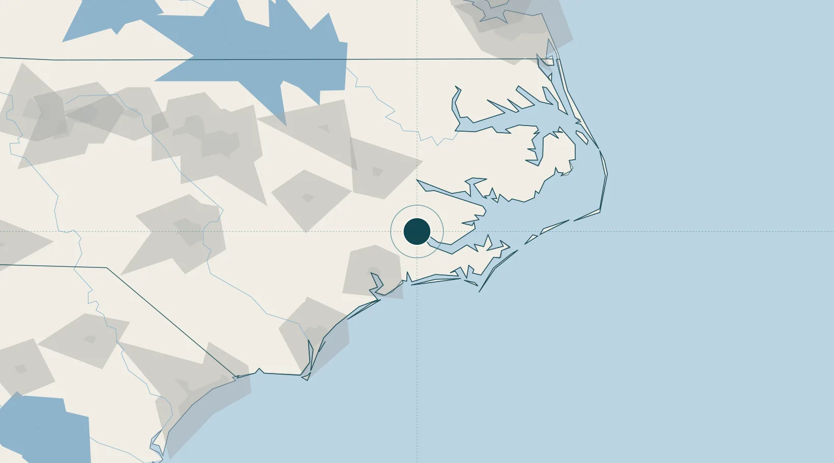
Location
Nearby Logistics Neighbours
Ports
- 1Washington50 km
- 2Morehead City53 km
- 3Beaufort55 km
- 4Belhaven70 km
- 5Plymouth90 km
Cities
- 1Havelock27 km
- 2Holly Springs, Carteret36 km
- 3Newport39 km
- 4Grifton46 km
- 5Cedar Point46 km
Airports
Trade Zones
- 1FTZ No. 214 Lenoir County78 km
- 2FTZ No. 093 Raleigh Durham190 km
- 3FTZ No. 020 Suffolk207 km
- 4FTZ No. 207 Richmond274 km
- 5FTZ No. 230 Piedmont Triad Area305 km
DatabookThe Record of Consolidated Knowledge
United States beyond logistics?