Transport Functions
Port
Rail
Road
Multimodal
Hub Profile
Place type
Populated place
Region
North Carolina
Population
17,924
Time zone
America/New_York
Elevation
7 m
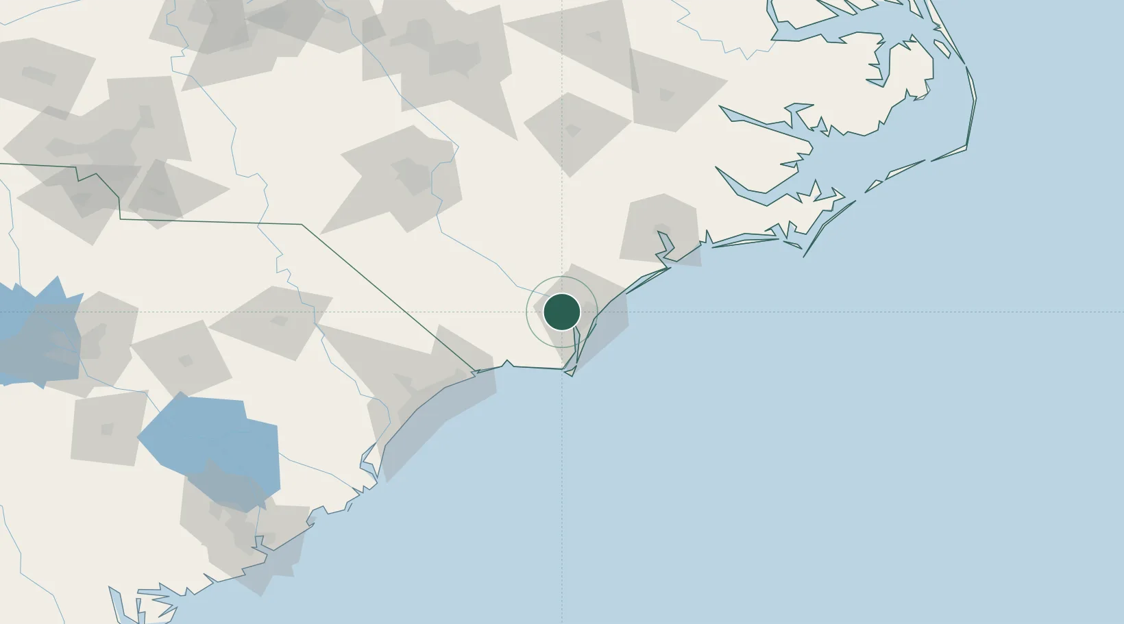
Location
Nearby Logistics Neighbours
Cities
- 1Wilmington11 km
- 2Wrightsville Beach25 km
- 3Sunny Point31 km
- 4Atkinson34 km
- 5Lake Waccamaw44 km
Ports
- 1Wilmington8 km
- 2Wrightsville20 km
- 3Southport37 km
- 4New Bern131 km
- 5Morehead City133 km
Airports
Trade Zones
- 1FTZ No. 214 Lenoir County108 km
- 2FTZ No. 093 Raleigh Durham200 km
- 3FTZ No. 021 Dorchester County281 km
- 4FTZ No. 127 West Columbia286 km
- 5FTZ No. 230 Piedmont Triad Area289 km
DatabookThe Record of Consolidated Knowledge
United States beyond logistics?