Medium airport · United States

Grand Strand AirportKCRE
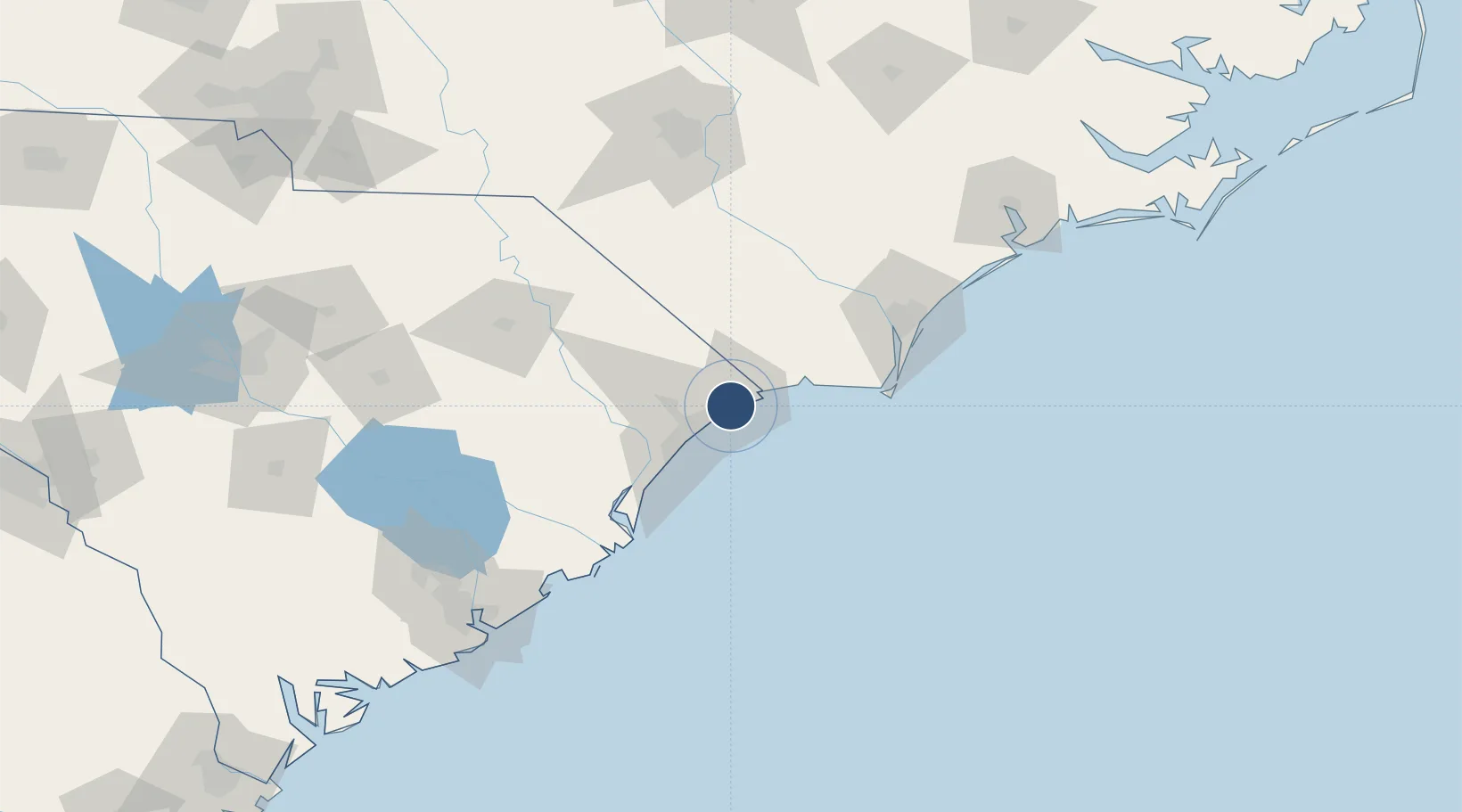
33.8117°, -78.7239°
5,997 ft
Longest runway
1
Runways
32 ft
Elevation

Runway & Layout

Grand Strand Airport runway & taxiway layout
Runway & taxiway layout — OpenStreetMap (ODbL) / OurAirports

Radio Frequencies

ATIS
119.625 MHz
TWR
124.6 MHz
STRAND TWR
GND
121.8 MHz
STRAND GND
CTAF
124.6 MHz
A/D
119.2 MHz
MYRTLE BEACH APP/DEP
RDO
123.6 MHz
ANDERSON RDO
UNIC
122.95 MHz
UNICOM
OurAirports

Runways · 1

RunwayDimensions SurfaceTrue headingLit
05/23 5,997 × 100ft Asphalt 046°
OurAirports

Airport Specifications

IATA code
CRE
OurAirports
ICAO code
KCRE
OurAirports
Airport class
Medium airport
OurAirports
Scheduled service
No
OurAirports
Runway surface
Asphalt
OurAirports
Served city
North Myrtle Beach
OurAirports

Location

Location of KCRE
Natural Earth 10m (public domain) · South Carolina · KCRE · 33.81, -78.72GoogleOSMYandex

Nearby Logistics Neighbours

Airports
  1. 1Myrtle Beach International Airport24 km
  2. 2Wilmington International Airport91 km
  3. 3Lumberton Regional Airport94 km
  4. 4Florence Regional Airport101 km
  5. 5Fayetteville Regional Airport - Grannis Field132 km
Nearest neighbours — logibook spatial index (haversine) over the source coordinates
Cities
  1. 1North Myrtle Beach2 km
  2. 2Little River12 km
  3. 3Calabash17 km
  4. 4Loris30 km
  5. 5Tabor City38 km
Nearest neighbours — logibook spatial index (haversine) over the source coordinates
Ports
  1. 1Southport66 km
  2. 2Georgetown72 km
  3. 3Wilmington85 km
  4. 4Wrightsville95 km
  5. 5Charleston159 km
Nearest neighbours — logibook spatial index (haversine) over the source coordinates
Trade Zones
  1. 1FTZ No. 214 Lenoir County174 km
  2. 2FTZ No. 021 Dorchester County202 km
  3. 3FTZ No. 127 West Columbia223 km
  4. 4FTZ No. 093 Raleigh Durham233 km
  5. 5FTZ No. 057 Mecklenburg County270 km
Nearest neighbours — logibook spatial index (haversine) over the source coordinates
DatabookThe Record of Consolidated Knowledge
United States beyond logistics?
Browse databook

All Sources

AirportsOurAirports
Public domain
Portsthe NGA World Port Index
Public domain (US gov)
LocationsUN/LOCODE
UN/LOCODE — free
Trade Zonesthe World Bank SEZ database
CC BY 4.0
Trade ZonesOpen Zone Map
CC BY
InfrastructureOpenStreetMap
ODbL 1.0
← United States airports