Transport Functions
Port
Hub Profile
Place type
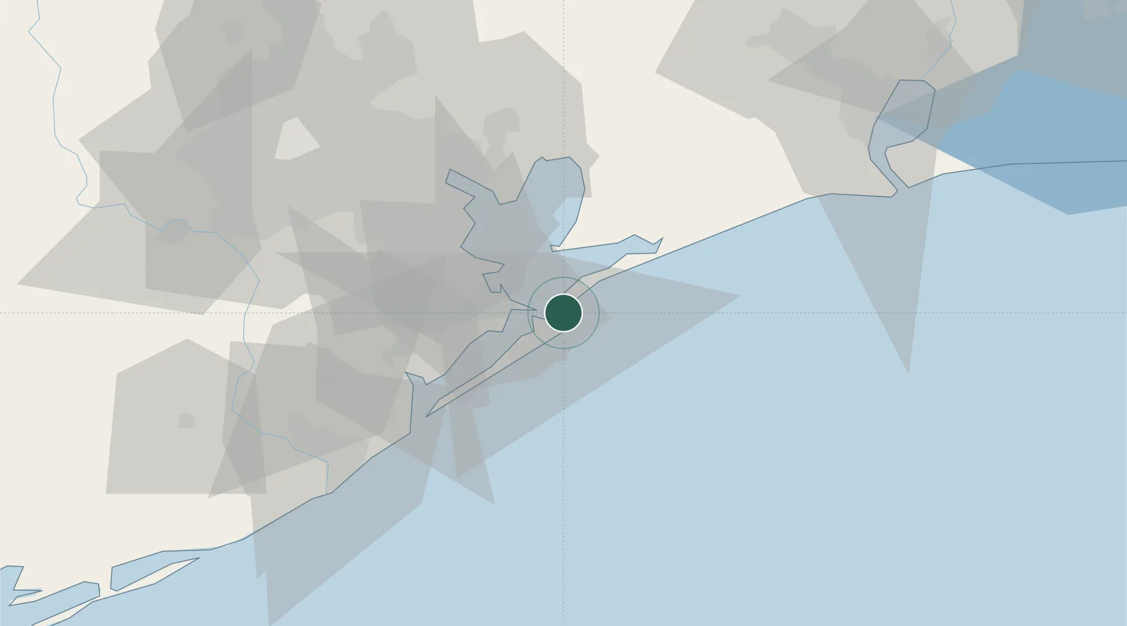
Populated place
Region
Texas
Time zone
America/Chicago
Elevation
2 m
Location
Nearby Logistics Neighbours
Cities
- 1Texas City18 km
- 2Kemah32 km
- 3Santa Fe34 km
- 4League City36 km
- 5Webster, Harris40 km
Ports
- 1Galveston6 km
- 2Texas City16 km
- 3Baytown48 km
- 4Pasadena60 km
- 5Houston67 km
Airports
Trade Zones
- 1FTZ No. 036 Galveston8 km
- 2FTZ No. 199 Texas City17 km
- 3FTZ No. 084 Harris County72 km
- 4FTZ No. 116 Port Arthur81 km
- 5FTZ No. 149 Freeport82 km
DatabookThe Record of Consolidated Knowledge
United States beyond logistics?