UN/LOCODE hub · United States
USFEZ
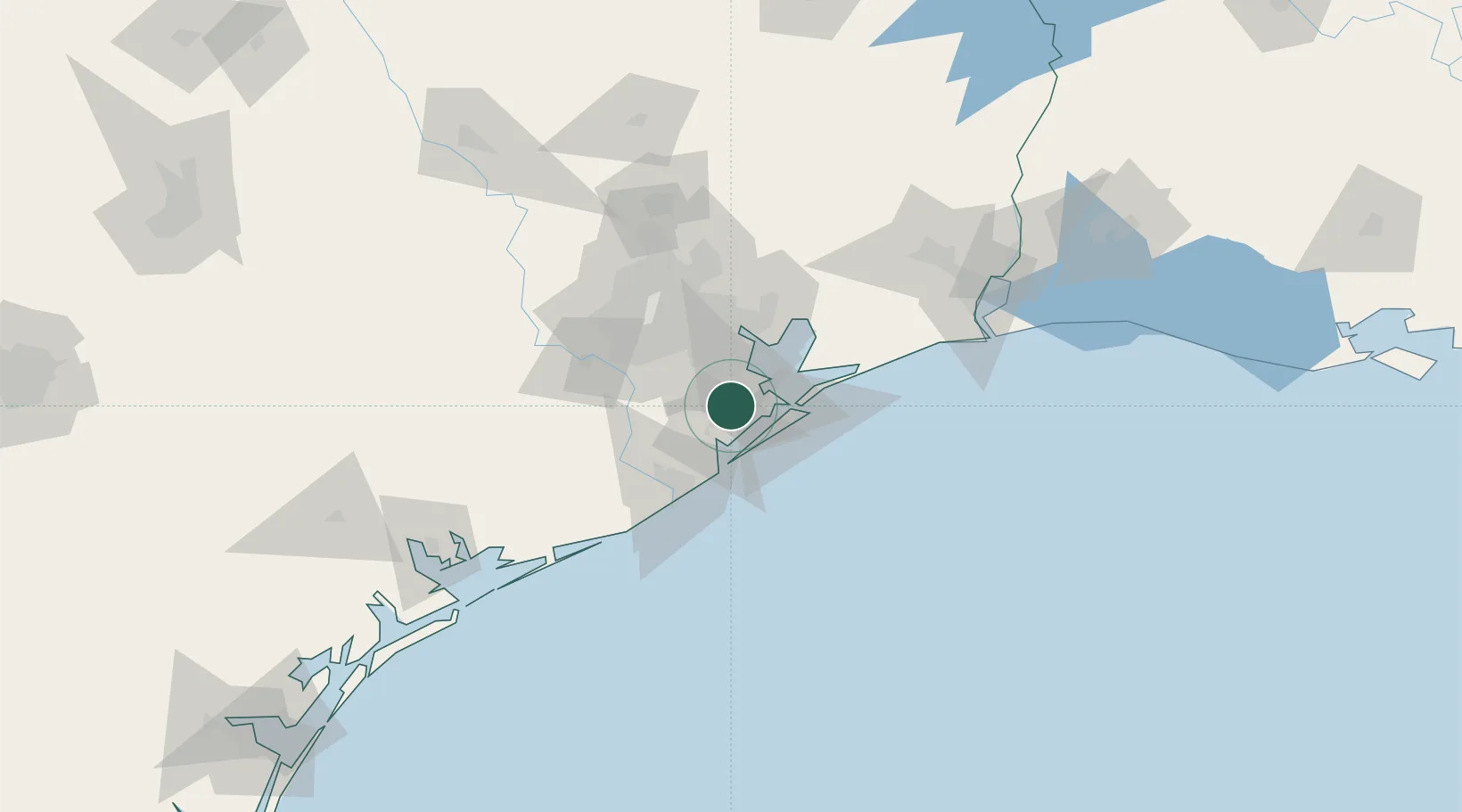
Santa Fe
29.3667°, -95.1000°
13,037
Population
2
Transport functions
Transport Functions
Rail
Road
Hub Profile
Place type
Populated place
Region
Texas
Population
13,037
Time zone
America/Chicago
Elevation
9 m
Location
Nearby Logistics Neighbours
Cities
- 1League City15 km
- 2Texas City17 km
- 3Webster, Harris19 km
- 4Friendswood19 km
- 5Kemah20 km
Ports
- 1Texas City18 km
- 2Galveston31 km
- 3Pasadena41 km
- 4Baytown42 km
- 5Houston46 km
Airports
Trade Zones
- 1FTZ No. 199 Texas City17 km
- 2FTZ No. 036 Galveston30 km
- 3FTZ No. 084 Harris County52 km
- 4FTZ No. 149 Freeport57 km
- 5FTZ No. 171 Liberty County91 km
DatabookThe Record of Consolidated Knowledge
United States beyond logistics?