UN/LOCODE hub · United States
USTXT
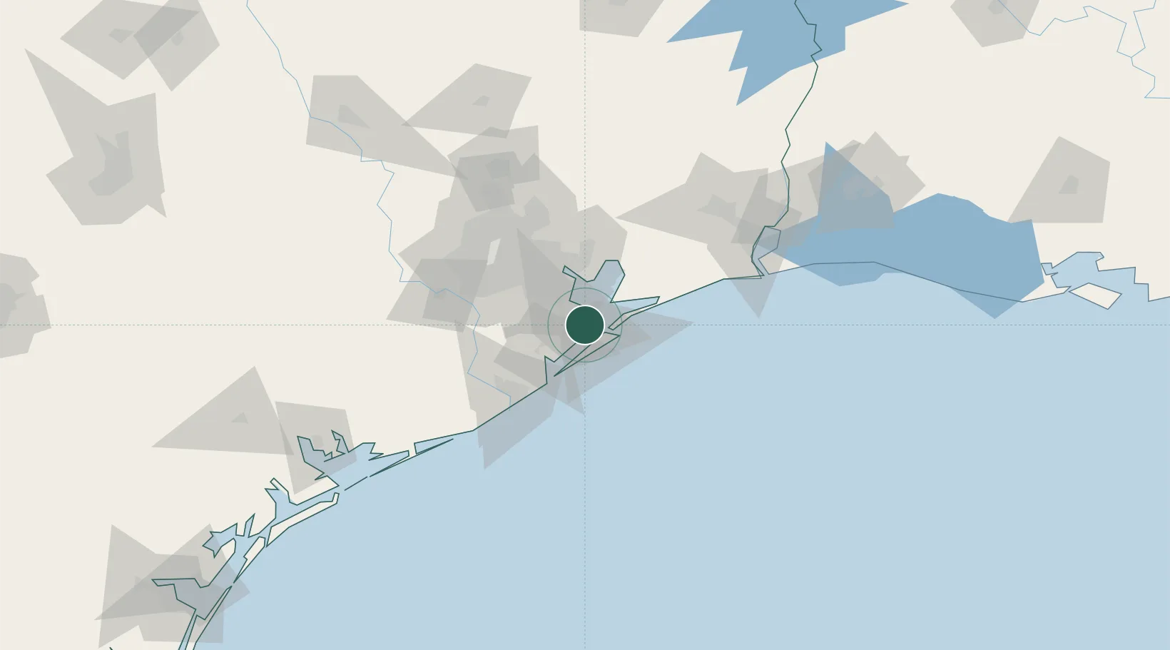
Texas City
29.3963°, -94.9311°
47,618
Population
2
Transport functions
Transport Functions
Port
Road
Hub Profile
Place type
Populated place
Region
Texas
Population
47,618
Time zone
America/Chicago
Elevation
3 m
Logistics facilities
1
Location
Nearby Logistics Neighbours
Cities
- 1Santa Fe17 km
- 2Kemah17 km
- 3Port Bolivar18 km
- 4League City19 km
- 5Webster, Harris24 km
Airports
Trade Zones
- 1FTZ No. 199 Texas City1 km
- 2FTZ No. 036 Galveston16 km
- 3FTZ No. 084 Harris County58 km
- 4FTZ No. 149 Freeport71 km
- 5FTZ No. 171 Liberty County89 km
DatabookThe Record of Consolidated Knowledge
United States beyond logistics?