UN/LOCODE hub · United States
USAFW

Webster, Harris

29.5333°, -95.1167°
4
Transport functions

Transport Functions

Port
Rail
Road
Multimodal
UN/LOCODE

Hub Profile

Region
TX
GeoNames

Location

Location of USAFW
Natural Earth 10m (public domain) · TX · USAFW · 29.53, -95.12GoogleOSMYandex

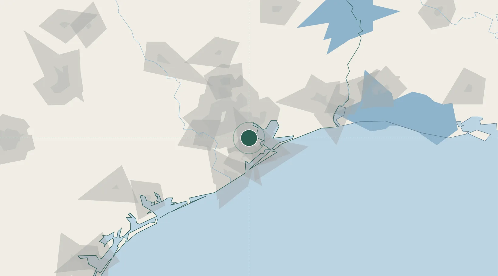
Nearby Logistics Neighbours

Cities
  1. 1League City5 km
  2. 2Friendswood8 km
  3. 3Kemah10 km
  4. 4Pasadena14 km
  5. 5South Houston17 km
Nearest neighbours — logibook spatial index (haversine) over the source coordinates
Ports
  1. 1Pasadena23 km
  2. 2Baytown24 km
  3. 3Texas City26 km
  4. 4Houston29 km
  5. 5Deer Park32 km
Nearest neighbours — logibook spatial index (haversine) over the source coordinates
Airports
  1. 1Ellington Airport9 km
  2. 2William P. Hobby Airport20 km
  3. 3Scholes International At Galveston Airport39 km
  4. 4Sugar Land Regional Airport53 km
  5. 5George Bush Intercontinental Airport55 km
Nearest neighbours — logibook spatial index (haversine) over the source coordinates
Trade Zones
  1. 1FTZ No. 199 Texas City24 km
  2. 2FTZ No. 084 Harris County35 km
  3. 3FTZ No. 036 Galveston40 km
  4. 4FTZ No. 149 Freeport73 km
  5. 5FTZ No. 171 Liberty County73 km
Nearest neighbours — logibook spatial index (haversine) over the source coordinates
DatabookThe Record of Consolidated Knowledge
United States beyond logistics?
Browse databook

All Sources

LocationsUN/LOCODE
UN/LOCODE — free
Portsthe NGA World Port Index
Public domain (US gov)
AirportsOurAirports
Public domain
Trade Zonesthe World Bank SEZ database
CC BY 4.0
Trade ZonesOpen Zone Map
CC BY
← United States locations