Channel & Berth Profile
Pilotage, Tugs & Services
Pilotage compulsoryYES
Tug assistanceNO
Salvage tugsNO
Potable waterYES
MedicalYES
Facilities & Capabilities
Container—
Ro-Ro—
Liquid bulk—
Dry bulk—
Oil terminal—
Break bulk—
Dry dock—
Repairs—
Bunkering—
Rail link—
Dangerous cargo—
ISPS security—
Harbour Specifications
Harbour size
Very Small
Harbour type
Coastal (Natural)
Shelter
Poor
Water body
Lake Huron; Great Lakes
Overhead limit
Yes
Pilotage
Yes
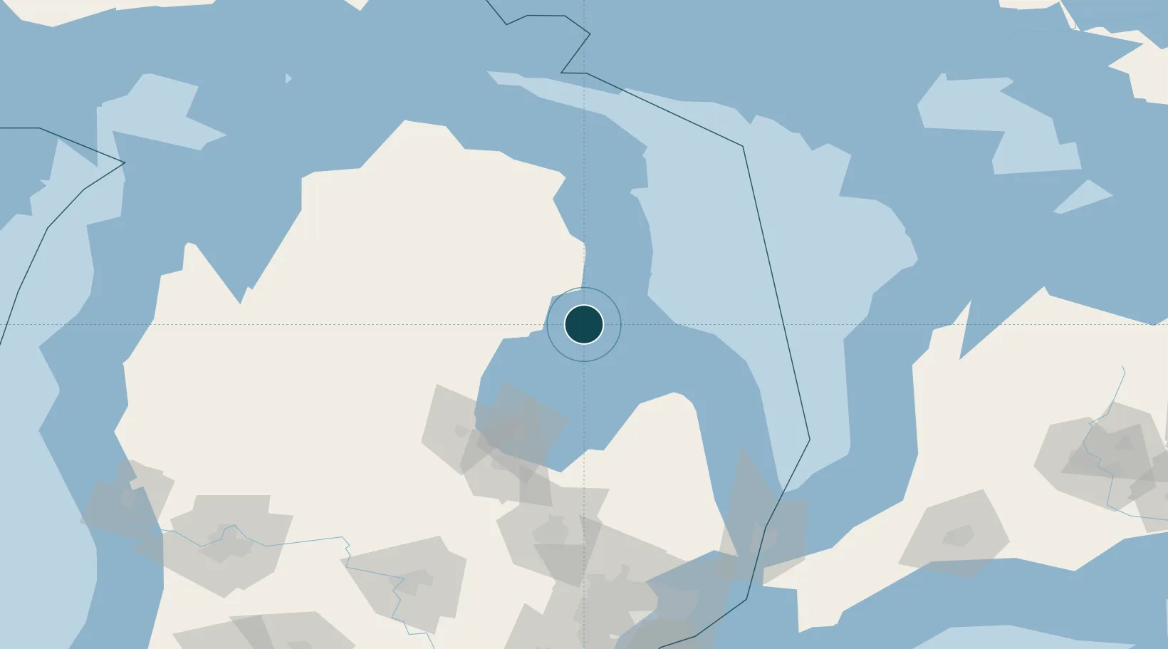
Location
Nearby Logistics Neighbours
Ports
- 1Alabaster10 km
- 2Oscoda22 km
- 3Bay City80 km
- 4Harbor Beach82 km
- 5Alpena89 km
Airports
- 1Alpena County Regional Airport90 km
- 2MBS International Airport94 km
- 3Bishop International Airport146 km
- 4Kincardine Municipal Airport151 km
- 5Goderich Airport154 km
Trade Zones
- 1FTZ No. 140 Flint141 km
- 2FTZ No. 284 Genesee County146 km
- 3FTZ No. 210 St. Clair County178 km
- 4FTZ No. 101 Clinton County178 km
- 5FTZ No. 070 Detroit214 km
DatabookThe Record of Consolidated Knowledge
United States beyond logistics?