Foreign Trade Zone · United States

FTZ No. 210 St. Clair County Active
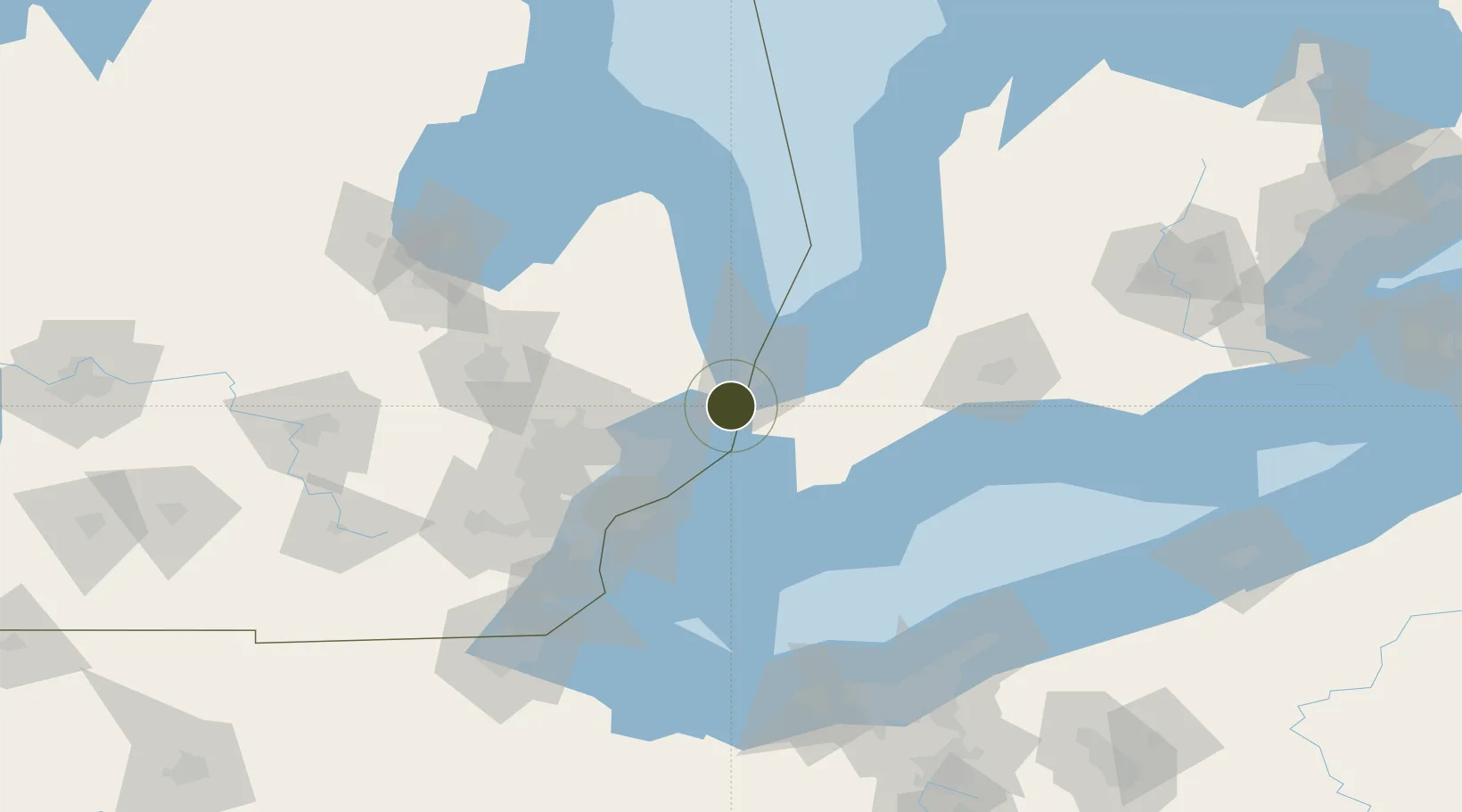
42.8324°, -82.5287°
4.1 km
Nearest port
25.8 km
Nearest airport

Gateway access

Nearest neighbours — logibook spatial index (haversine) over the source coordinates

Zone profile

Zone type
Foreign Trade Zone
Open Zone Map
Region
Michigan
Open Zone Map
Status
Active
Open Zone Map
Management
Public-Private Partnership
Open Zone Map
Operator
Economic Development Alliance of St. Clair County
Open Zone Map
Legal framework
Foreign-Trade Zones Act
Open Zone Map

Location

Location of ozm-4900
Natural Earth 10m (public domain) · Michigan · ozm-4900 · 42.83, -82.53GoogleOSMYandex

Nearby Logistics Neighbours

Ports
  1. 1St Clair4 km
  2. 2Courtright5 km
  3. 3Sombra13 km
  4. 4Sarnia19 km
  5. 5Port Huron20 km
Nearest neighbours — logibook spatial index (haversine) over the source coordinates
Airports
  1. 1Chris Hadfield Airport26 km
  2. 2Selfridge Air National Guard Base Airport35 km
  3. 3Coleman A. Young Municipal Airport61 km
  4. 4Windsor International Airport71 km
  5. 5Oakland County International Airport75 km
Nearest neighbours — logibook spatial index (haversine) over the source coordinates
Cities
  1. 1Cottrellville17 km
  2. 2Port Huron18 km
  3. 3Richmond18 km
  4. 4Point Edward21 km
  5. 5Fort Gratiot23 km
Nearest neighbours — logibook spatial index (haversine) over the source coordinates
Trade Zones
  1. 1Windsor - Essex Foreign Trade Zone70 km
  2. 2FTZ No. 070 Detroit79 km
  3. 3FTZ No. 140 Flint103 km
  4. 4FTZ No. 284 Genesee County119 km
  5. 5FTZ No. 008 Toledo155 km
Nearest neighbours — logibook spatial index (haversine) over the source coordinates
DatabookThe Record of Consolidated Knowledge
United States beyond logistics?
Browse databook

All Sources

Trade ZonesOpen Zone Map
CC BY
Portsthe NGA World Port Index
Public domain (US gov)
AirportsOurAirports
Public domain
LocationsUN/LOCODE
UN/LOCODE — free
← United States trade zones