Foreign Trade Zone · United States

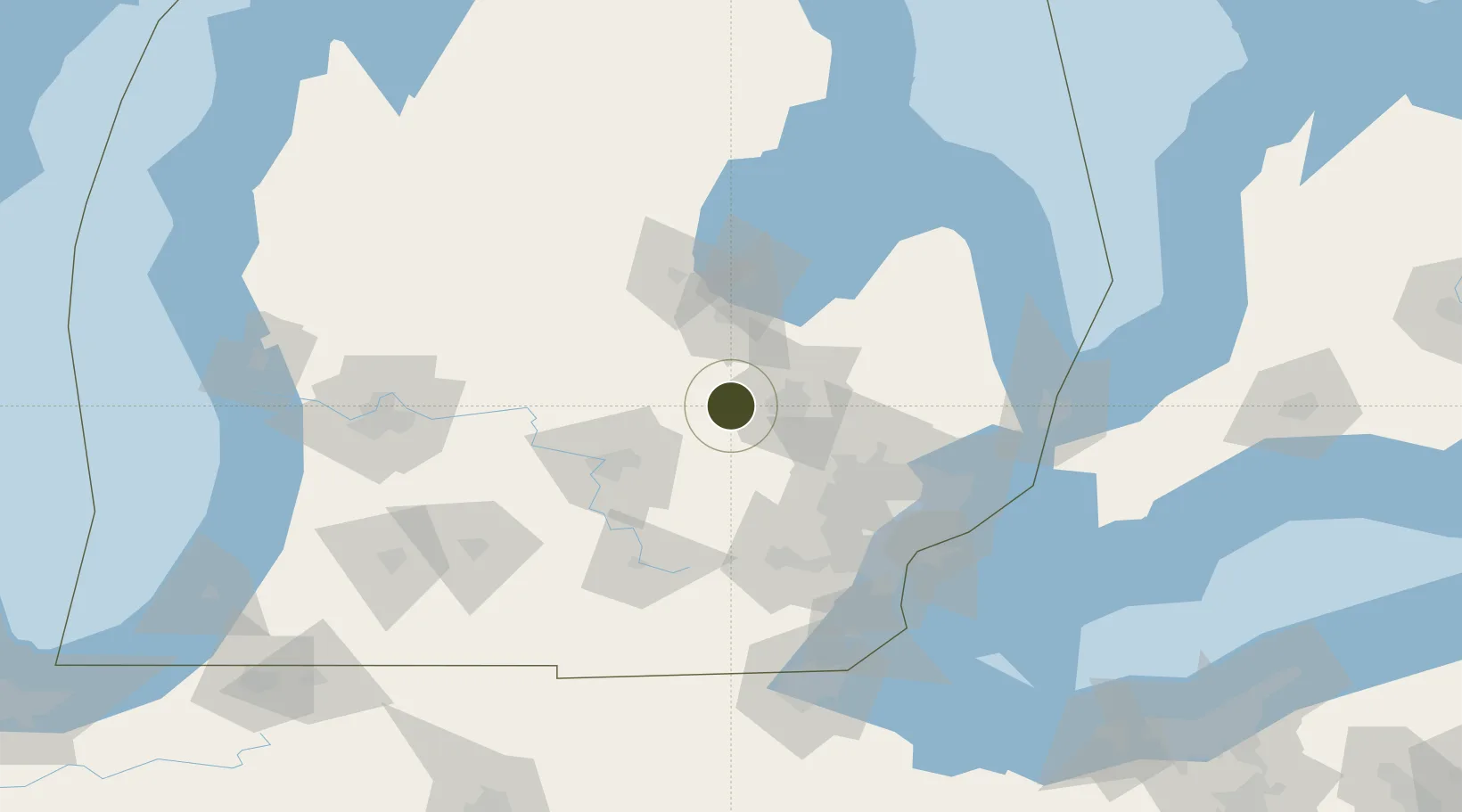
FTZ No. 284 Genesee County Active

43.0017°, -83.9729°
48.1 km
Nearest port
19.0 km
Nearest airport

Gateway access

Nearest neighbours — logibook spatial index (haversine) over the source coordinates

Zone profile

Zone type
Foreign Trade Zone
Open Zone Map
Region
Michigan
Open Zone Map
Status
Active
Open Zone Map
Management
Public-Private Partnership
Open Zone Map
Operator
Genesee Gateway Local Development Corp.
Open Zone Map
Legal framework
Foreign-Trade Zones Act
Open Zone Map

Location

Location of ozm-4919
Natural Earth 10m (public domain) · Michigan · ozm-4919 · 43.00, -83.97GoogleOSMYandex

Nearby Logistics Neighbours

Ports
  1. 1Saginaw48 km
  2. 2Bay City67 km
  3. 3Detroit107 km
  4. 4Windsor108 km
  5. 5Wyandotte112 km
Nearest neighbours — logibook spatial index (haversine) over the source coordinates
Airports
  1. 1Bishop International Airport19 km
  2. 2Capital Region International Airport56 km
  3. 3Oakland County International Airport59 km
  4. 4MBS International Airport60 km
  5. 5Jackson County Airport/Reynolds Field92 km
Nearest neighbours — logibook spatial index (haversine) over the source coordinates
Cities
  1. 1Durand10 km
  2. 2Oakley22 km
  3. 3Clio28 km
  4. 4Perry29 km
  5. 5Grand Blanc31 km
Nearest neighbours — logibook spatial index (haversine) over the source coordinates
Trade Zones
  1. 1FTZ No. 140 Flint17 km
  2. 2FTZ No. 101 Clinton County63 km
  3. 3FTZ No. 070 Detroit94 km
  4. 4Windsor - Essex Foreign Trade Zone109 km
  5. 5FTZ No. 210 St. Clair County119 km
Nearest neighbours — logibook spatial index (haversine) over the source coordinates
DatabookThe Record of Consolidated Knowledge
United States beyond logistics?
Browse databook

All Sources

Trade ZonesOpen Zone Map
CC BY
Portsthe NGA World Port Index
Public domain (US gov)
AirportsOurAirports
Public domain
LocationsUN/LOCODE
UN/LOCODE — free
← United States trade zones