Channel & Berth Profile
Pilotage, Tugs & Services
Pilotage compulsoryYES
Tug assistanceNO
Salvage tugsNO
Shore powerYES
Potable waterYES
Diesel bunkersYES
MedicalYES
Facilities & Capabilities
Container—
Ro-Ro—
Liquid bulk—
Dry bulk—
Oil terminal—
Break bulk—
Dry dock—
RepairsNO
Bunkering—
Rail link—
Dangerous cargo—
ISPS security—
Harbour Specifications
Harbour size
Small
Harbour type
Coastal (Natural)
Shelter
Good
Water body
Lake Huron; Great Lakes
Overhead limit
Yes
Pilotage
Yes
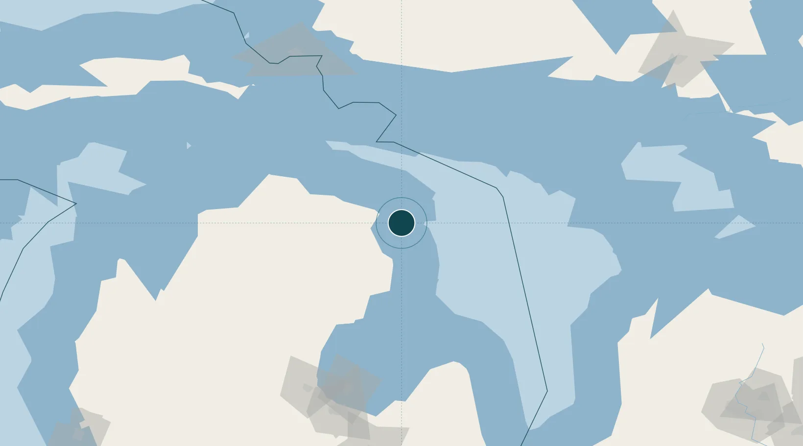
Location
Nearby Logistics Neighbours
Ports
- 1Calcite48 km
- 2Rogers City53 km
- 3Oscoda73 km
- 4Tawas City89 km
- 5Alabaster99 km
Cities
- 1Ossineke19 km
- 2Presque Isle26 km
- 3Posen31 km
- 4Calcite47 km
- 5Onaway70 km
Airports
Trade Zones
- 1FTZ No. 016 Sault Ste. Marie176 km
- 2FTZ No. 140 Flint230 km
- 3FTZ No. 284 Genesee County234 km
- 4FTZ No. 210 St. Clair County258 km
- 5FTZ No. 101 Clinton County259 km
DatabookThe Record of Consolidated Knowledge
United States beyond logistics?