UN/LOCODE hub · United States
USSH6
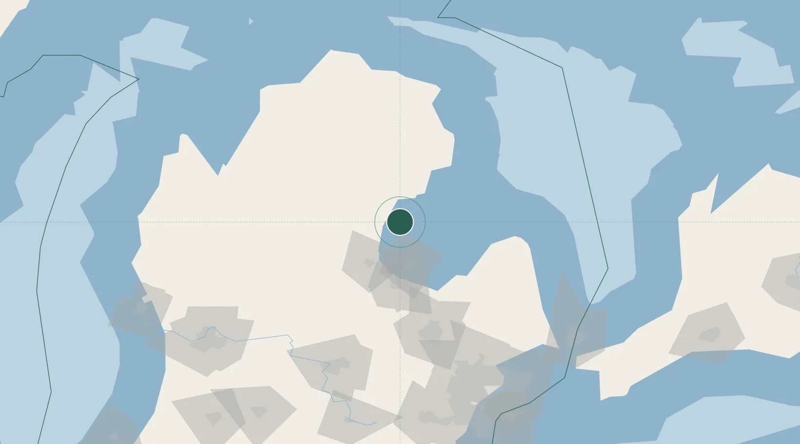
Standish
43.9833°, -83.9667°
1,452
Population
3
Transport functions
Transport Functions
Rail
Road
Multimodal
Hub Profile
Place type
Provincial seat
Region
Michigan
Population
1,452
Time zone
America/Detroit
Elevation
190 m
Location
Nearby Logistics Neighbours
Ports
- 1Alabaster40 km
- 2Bay City43 km
- 3Tawas City49 km
- 4Saginaw61 km
- 5Oscoda71 km
Airports
Trade Zones
- 1FTZ No. 284 Genesee County109 km
- 2FTZ No. 140 Flint109 km
- 3FTZ No. 101 Clinton County131 km
- 4FTZ No. 210 St. Clair County173 km
- 5FTZ No. 070 Detroit191 km
DatabookThe Record of Consolidated Knowledge
United States beyond logistics?