Medium airport · United States
Alpena County Regional AirportKAPN
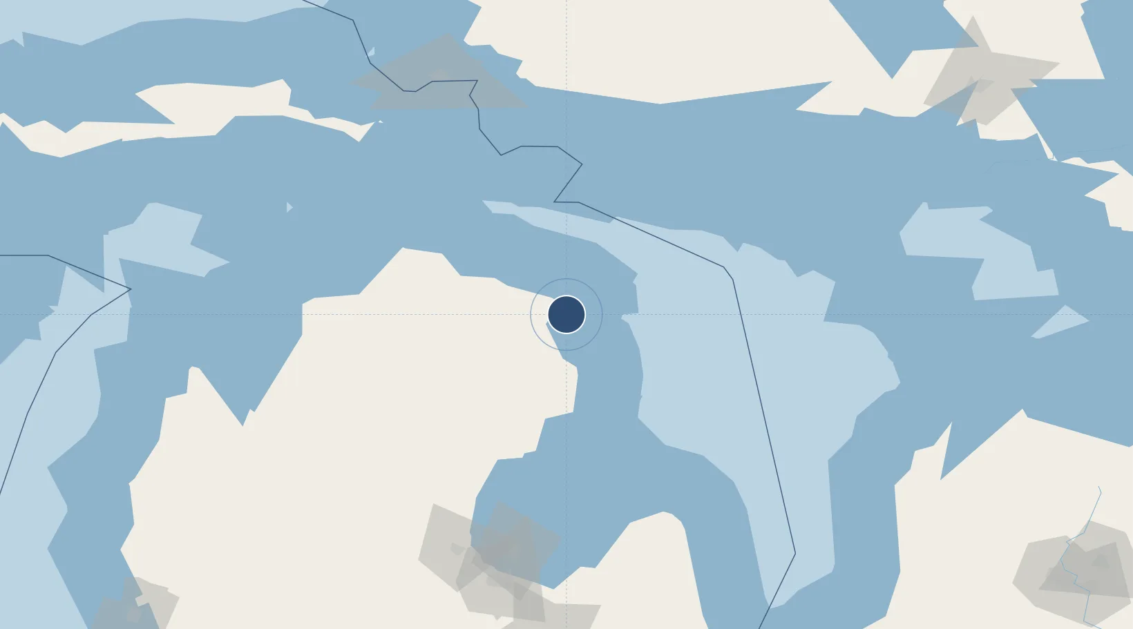
45.0781°, -83.5603°
9,001 ft
Longest runway
2
Runways
690 ft
Elevation
Runway & Layout

Radio Frequencies
ASOS
120.675 MHz
TWR
121.35 MHz
GND
121.9 MHz
CTAF
121.35 MHz
A/D
128.425 MHz
APP/DEP
PTD
37.22 MHz
RDO
108.8 MHz
LANSING RDO
UNIC
122.95 MHz
UNICOM
Navaids
AP NDB Felps 206 kHz
APN VORTAC Alpena 108.80 MHz
Runways · 2
| Runway | Dimensions | Surface | True heading | Lit |
|---|---|---|---|---|
| 01/19 | 9,001 × 150ft | Concrete | 360° | ✓ |
| 07/25 | 5,028 × 100ft | Concrete | 060° | ✓ |
Airport Specifications
IATA code
APN
ICAO code
KAPN
Airport class
Medium airport
Scheduled service
Yes
Runway surface
Concrete
Served city
Alpena
Location
Nearby Logistics Neighbours
Airports
Cities
- 1Ossineke22 km
- 2Posen24 km
- 3Presque Isle26 km
- 4Calcite40 km
- 5Onaway60 km
Ports
- 1Alpena11 km
- 2Calcite42 km
- 3Rogers City46 km
- 4Oscoda76 km
- 5Tawas City90 km
Trade Zones
- 1FTZ No. 016 Sault Ste. Marie170 km
- 2FTZ No. 140 Flint230 km
- 3FTZ No. 284 Genesee County233 km
- 4FTZ No. 101 Clinton County255 km
- 5FTZ No. 210 St. Clair County263 km
DatabookThe Record of Consolidated Knowledge
United States beyond logistics?