Transport Functions
Rail
Road
Hub Profile
Place type
Populated place
Region
Michigan
Population
513
Time zone
America/Detroit
Elevation
228 m
Logistics facilities
1
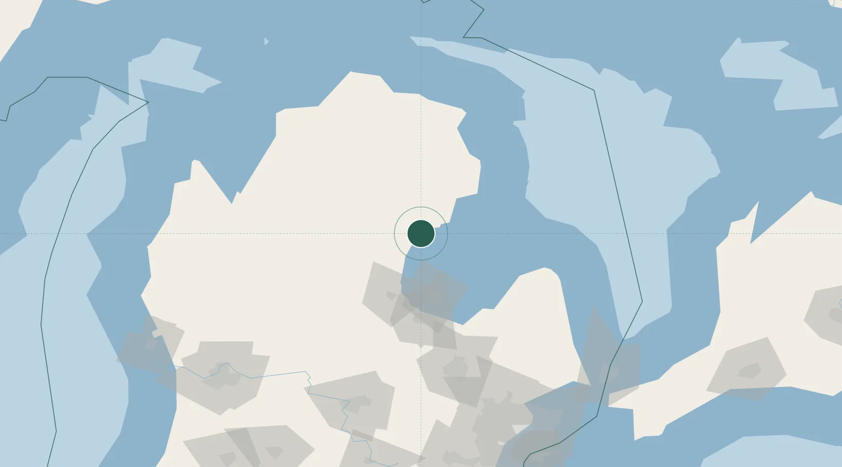
Location
Nearby Logistics Neighbours
Cities
- 1Alger10 km
- 2Greenwood13 km
- 3Standish18 km
- 4Lupton31 km
- 5Tawas City41 km
Ports
- 1Alabaster35 km
- 2Tawas City41 km
- 3Bay City61 km
- 4Oscoda62 km
- 5Saginaw79 km
Airports
Trade Zones
- 1FTZ No. 284 Genesee County127 km
- 2FTZ No. 140 Flint127 km
- 3FTZ No. 101 Clinton County146 km
- 4FTZ No. 210 St. Clair County187 km
- 5FTZ No. 070 Detroit208 km
DatabookThe Record of Consolidated Knowledge
United States beyond logistics?