Medium airport · United States
MBS International AirportKMBS
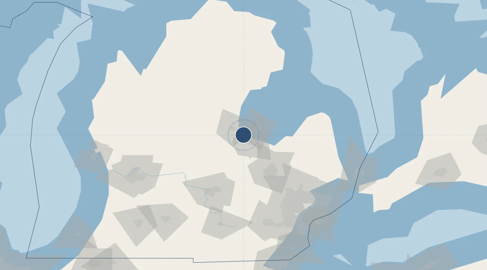
43.5332°, -84.0831°
8,002 ft
Longest runway
2
Runways
668 ft
Elevation
Runway & Layout

Radio Frequencies
ATIS
118.6 MHz
TWR
120.1 MHz
SAGINAW TWR
GND
121.7 MHz
CLD
121.85 MHz
CLNC DEL
CTAF
120.1 MHz
A/D
120.95 MHz
SAGINAW APP/DEP
RDO
122.2 MHz
LANSING RDO
UNIC
122.95 MHz
UNICOM
Navaids
MB NDB Olste 257 kHz
MBS VOR-DME Saginaw 112.90 MHz
Runways · 2
| Runway | Dimensions | Surface | True heading | Lit |
|---|---|---|---|---|
| 05/23 | 8,002 × 150ft | Asphalt | 046° | ✓ |
| 14/32 | 6,399 × 150ft | Asphalt | 136° | ✓ |
Airport Specifications
IATA code
MBS
ICAO code
KMBS
Airport class
Medium airport
Scheduled service
Yes
Runway surface
Asphalt
Served city
Freeland
Location
Nearby Logistics Neighbours
Airports
Cities
- 1Kawkawlin18 km
- 2Linwood25 km
- 3Sanford27 km
- 4Saint Charles28 km
- 5Wheeler32 km
Ports
- 1Saginaw16 km
- 2Bay City19 km
- 3Alabaster84 km
- 4Tawas City94 km
- 5Oscoda116 km
Trade Zones
- 1FTZ No. 284 Genesee County60 km
- 2FTZ No. 140 Flint63 km
- 3FTZ No. 101 Clinton County84 km
- 4FTZ No. 070 Detroit148 km
- 5FTZ No. 210 St. Clair County148 km
DatabookThe Record of Consolidated Knowledge
United States beyond logistics?