Transport Functions
Port
Hub Profile
Place type
Populated place
Region
Michigan
Population
348
Time zone
America/Detroit
Elevation
281 m
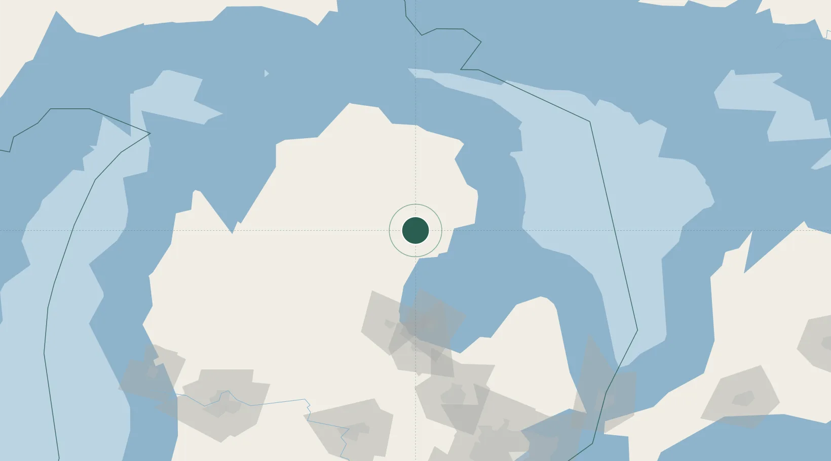
Location
Nearby Logistics Neighbours
Cities
- 1Greenwood30 km
- 2Sterling31 km
- 3Alger33 km
- 4Tawas City44 km
- 5Roscommon46 km
Ports
- 1Tawas City44 km
- 2Alabaster45 km
- 3Oscoda56 km
- 4Alpena86 km
- 5Bay City92 km
Airports
Trade Zones
- 1FTZ No. 284 Genesee County157 km
- 2FTZ No. 140 Flint157 km
- 3FTZ No. 101 Clinton County174 km
- 4FTZ No. 210 St. Clair County213 km
- 5FTZ No. 189 Kent Ottawa/Muskegon Counties225 km
DatabookThe Record of Consolidated Knowledge
United States beyond logistics?