Medium airport · Canada

Goderich AirportCYGD
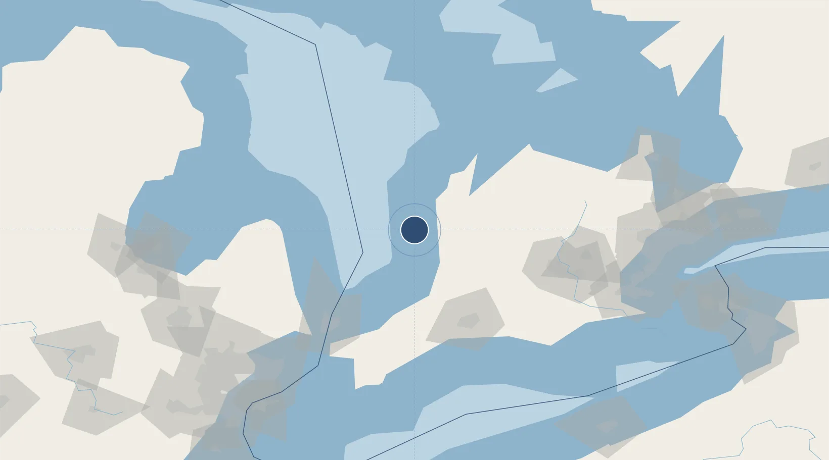
43.7669°, -81.7106°
5,000 ft
Longest runway
3
Runways
712 ft
Elevation

Runway & Layout

Goderich Airport runway & taxiway layout
Runway & taxiway layout — OpenStreetMap (ODbL) / OurAirports

Radio Frequencies

CNTR
135.3 MHz
TORONTO CNTR
UNIC
122.7 MHz
ATF/UNICOM
OurAirports

Navaids

GD NDB Goderich 261 kHz
OurAirports

Runways · 3

RunwayDimensions SurfaceTrue headingLit
14/32 5,000 × 100ft Asphalt 122°
10/28 3,000 × 50ft Asphalt 092°
05/23 1,870 × 80ft Grass 030°
OurAirports

Airport Specifications

ICAO code
CYGD
OurAirports
Airport class
Medium airport
OurAirports
Scheduled service
No
OurAirports
Runway surface
Asphalt
OurAirports
Served city
Goderich
OurAirports

Location

Location of CYGD
Natural Earth 10m (public domain) · Ontario · CYGD · 43.77, -81.71GoogleOSMYandex

Nearby Logistics Neighbours

Airports
  1. 1Kincardine Municipal Airport49 km
  2. 2Centralia / James T. Field Memorial Aerodrome56 km
  3. 3London International Airport93 km
  4. 4Chris Hadfield Airport98 km
  5. 5Region of Waterloo International Airport113 km
Nearest neighbours — logibook spatial index (haversine) over the source coordinates
Cities
  1. 1Bayfield22 km
  2. 2Amberly32 km
  3. 3Brucefield33 km
  4. 4Walton34 km
  5. 5Dublin45 km
Nearest neighbours — logibook spatial index (haversine) over the source coordinates
Ports
  1. 1Goderich3 km
  2. 2Harbor Beach76 km
  3. 3Port Elgin78 km
  4. 4Southampton86 km
  5. 5Point Edward103 km
Nearest neighbours — logibook spatial index (haversine) over the source coordinates
Trade Zones
  1. 1FTZ No. 210 St. Clair County123 km
  2. 2FTZ No. 140 Flint186 km
  3. 3Windsor - Essex Foreign Trade Zone193 km
  4. 4FTZ No. 070 Detroit200 km
  5. 5FTZ No. 284 Genesee County202 km
Nearest neighbours — logibook spatial index (haversine) over the source coordinates
DatabookThe Record of Consolidated Knowledge
Canada beyond logistics?
Browse databook

All Sources

AirportsOurAirports
Public domain
Portsthe NGA World Port Index
Public domain (US gov)
LocationsUN/LOCODE
UN/LOCODE — free
Trade Zonesthe World Bank SEZ database
CC BY 4.0
Trade ZonesOpen Zone Map
CC BY
InfrastructureOpenStreetMap
ODbL 1.0
← Canada airports