Transport Functions
Road
Multimodal
Hub Profile
Place type
Populated place
Region
Michigan
Time zone
America/Detroit
Elevation
239 m
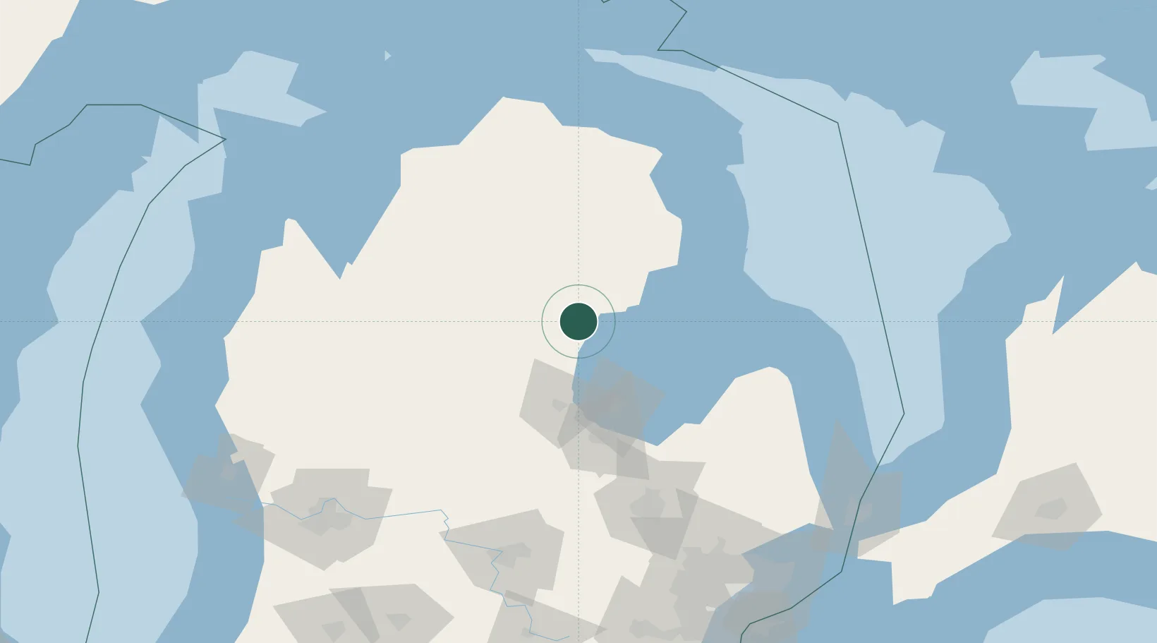
Location
Nearby Logistics Neighbours
Ports
- 1Alabaster46 km
- 2Tawas City51 km
- 3Bay City63 km
- 4Oscoda71 km
- 5Saginaw79 km
Airports
Trade Zones
- 1FTZ No. 284 Genesee County126 km
- 2FTZ No. 140 Flint128 km
- 3FTZ No. 101 Clinton County142 km
- 4FTZ No. 210 St. Clair County193 km
- 5FTZ No. 189 Kent Ottawa/Muskegon Counties201 km
DatabookThe Record of Consolidated Knowledge
United States beyond logistics?