Medium airport · United States

Bishop International AirportKFNT
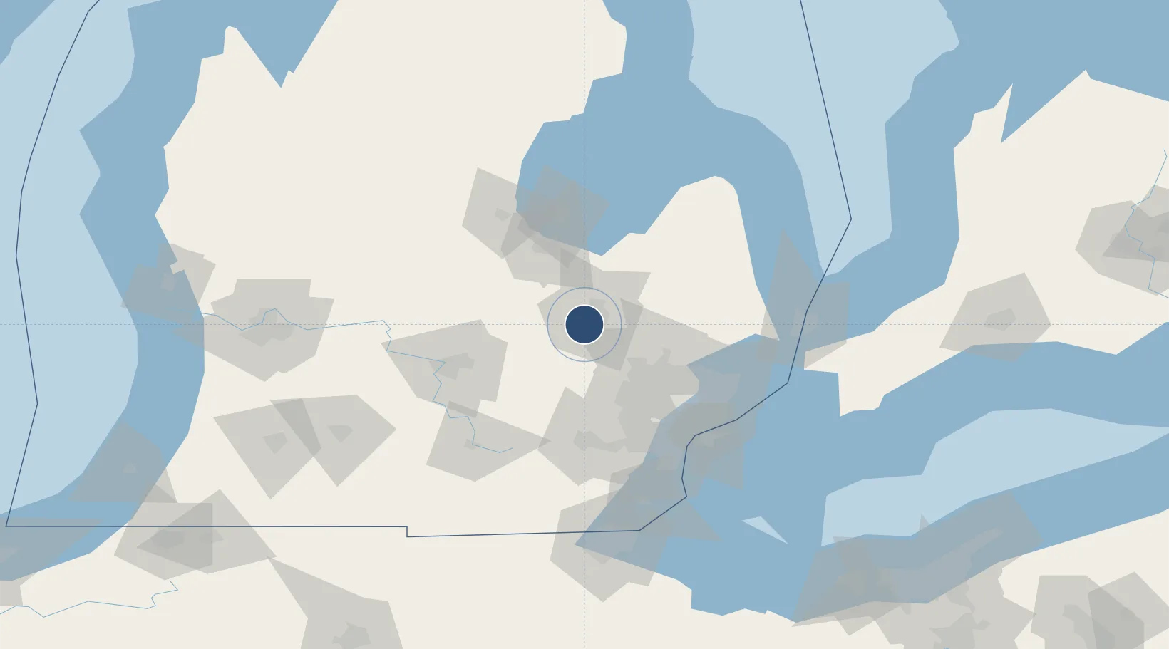
42.9693°, -83.7434°
7,852 ft
Longest runway
2
Runways
782 ft
Elevation

Runway & Layout

Bishop International Airport runway & taxiway layout
Runway & taxiway layout — OpenStreetMap (ODbL) / OurAirports

Radio Frequencies

ATIS
133.15 MHz
TWR
126.3 MHz
FLINT TWR
GND
121.9 MHz
FLINT GND
CLD
121.75 MHz
CLNC DEL
CTAF
126.3 MHz
A/D
118.8 MHz
FLINT APP/DEP
RDO
122.3 MHz
LANSING RDO
UNIC
122.95 MHz
UNICOM
OurAirports

Navaids

FN NDB Petli 269 kHz
FNT VORTAC Flint 116.90 MHz
OurAirports

Runways · 2

RunwayDimensions SurfaceTrue headingLit
18/36 7,852 × 150ft Asphalt 179°
09/27 7,201 × 150ft Asphalt 088°
OurAirports

Airport Specifications

IATA code
FNT
OurAirports
ICAO code
KFNT
OurAirports
Airport class
Medium airport
OurAirports
Scheduled service
Yes
OurAirports
Runway surface
Asphalt
OurAirports
Served city
Flint
OurAirports

Location

Location of KFNT
Natural Earth 10m (public domain) · Michigan · KFNT · 42.97, -83.74GoogleOSMYandex

Nearby Logistics Neighbours

Airports
  1. 1Oakland County International Airport43 km
  2. 2MBS International Airport69 km
  3. 3Capital Region International Airport72 km
  4. 4Willow Run Airport83 km
  5. 5Selfridge Air National Guard Base Airport84 km
Nearest neighbours — logibook spatial index (haversine) over the source coordinates
Cities
  1. 1Grand Blanc12 km
  2. 2Davison19 km
  3. 3Durand20 km
  4. 4Clio24 km
  5. 5Davisburg30 km
Nearest neighbours — logibook spatial index (haversine) over the source coordinates
Ports
  1. 1Saginaw54 km
  2. 2Bay City71 km
  3. 3Detroit92 km
  4. 4Windsor93 km
  5. 5Wyandotte98 km
Nearest neighbours — logibook spatial index (haversine) over the source coordinates
Trade Zones
  1. 1FTZ No. 140 Flint5 km
  2. 2FTZ No. 284 Genesee County19 km
  3. 3FTZ No. 070 Detroit80 km
  4. 4FTZ No. 101 Clinton County81 km
  5. 5Windsor - Essex Foreign Trade Zone93 km
Nearest neighbours — logibook spatial index (haversine) over the source coordinates
DatabookThe Record of Consolidated Knowledge
United States beyond logistics?
Browse databook

All Sources

AirportsOurAirports
Public domain
Portsthe NGA World Port Index
Public domain (US gov)
LocationsUN/LOCODE
UN/LOCODE — free
Trade Zonesthe World Bank SEZ database
CC BY 4.0
Trade ZonesOpen Zone Map
CC BY
InfrastructureOpenStreetMap
ODbL 1.0
← United States airports