Foreign Trade Zone · United States

FTZ No. 101 Clinton County Active
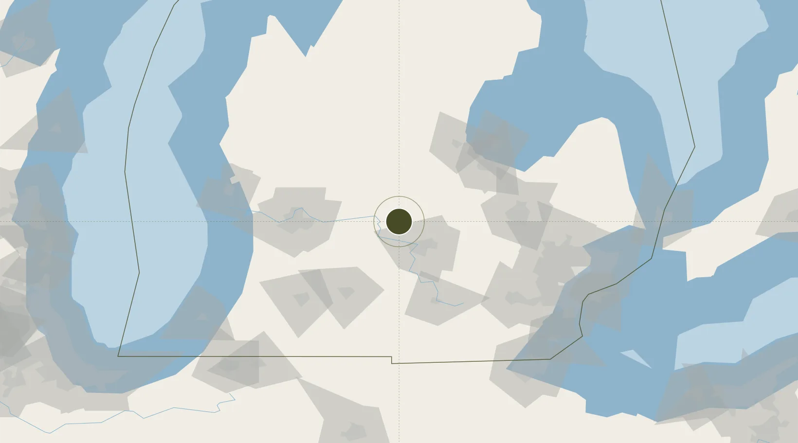
42.9441°, -84.7407°
85.1 km
Nearest port
22.4 km
Nearest airport

Gateway access

Nearest neighbours — logibook spatial index (haversine) over the source coordinates

Zone profile

Zone type
Foreign Trade Zone
Open Zone Map
Region
Michigan
Open Zone Map
Status
Active
Open Zone Map
Management
Public-Private Partnership
Open Zone Map
Operator
Airborne FTZ, Inc.
Open Zone Map
Legal framework
Foreign-Trade Zones Act
Open Zone Map

Location

Location of ozm-4925
Natural Earth 10m (public domain) · Michigan · ozm-4925 · 42.94, -84.74GoogleOSMYandex

Nearby Logistics Neighbours

Ports
  1. 1Saginaw85 km
  2. 2Bay City102 km
  3. 3Holland115 km
  4. 4Grand Haven122 km
  5. 5Muskegon128 km
Nearest neighbours — logibook spatial index (haversine) over the source coordinates
Airports
  1. 1Capital Region International Airport22 km
  2. 2Gerald R. Ford International Airport64 km
  3. 3Jackson County Airport/Reynolds Field79 km
  4. 4Bishop International Airport81 km
  5. 5Battle Creek Executive Airport at Kellogg Field82 km
Nearest neighbours — logibook spatial index (haversine) over the source coordinates
Cities
  1. 1Mulliken24 km
  2. 2Middleton27 km
  3. 3Ovid31 km
  4. 4East Lansing32 km
  5. 5Potterville35 km
Nearest neighbours — logibook spatial index (haversine) over the source coordinates
Trade Zones
  1. 1FTZ No. 284 Genesee County63 km
  2. 2FTZ No. 140 Flint80 km
  3. 3FTZ No. 043 Battle Creek80 km
  4. 4FTZ No. 189 Kent Ottawa/Muskegon Counties130 km
  5. 5FTZ No. 070 Detroit139 km
Nearest neighbours — logibook spatial index (haversine) over the source coordinates
DatabookThe Record of Consolidated Knowledge
United States beyond logistics?
Browse databook

All Sources

Trade ZonesOpen Zone Map
CC BY
Portsthe NGA World Port Index
Public domain (US gov)
AirportsOurAirports
Public domain
LocationsUN/LOCODE
UN/LOCODE — free
← United States trade zones